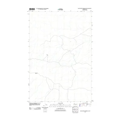
2011 Map of Black Rock Spring NE
USGS Topo · Published 2011About this map
Stewart Ranch sits at the center of this 2011 survey, representing a point of human settlement within an otherwise open and undeveloped landscape. The terrain is defined by a network of seasonal drainages and the rising elevations of the Hog Ranch Buttes to the west. This quadrangle, produced by the U.S. Geological Survey using 2009 imagery, illustrates the sparse infrastructure and ranching footprint typical of this portion of Yakima County. The map provides a precise record of local roads and landform contours, serving as a primary source for understanding the modern geography and land use patterns of this rural Washington interior.
Find a feature on this map
2 named features on this map. Tap any name to fly to it.
Don’t see what you’re looking for? This feature index may not catch every label — zoom into the map to look around manually.
Map Details
Editions of this 2011 Black Rock Spring NE Map
This is the sole edition of this map. No revisions or reprints were ever made.
Other maps of this area

1912 · Beverly
USGS Topo · 1:62,500

1917 · Priest Rapids
USGS Topo · 1:62,500

1936 · Hog Ranch Buttes
USGS Topo · 1:48,000

1939 · Boylston
USGS Topo · 1:48,000

1941 · Black Rock Spring
USGS Topo · 1:62,500

1943 · Boylston
USGS Topo · 1:62,500

1948 · Cairn Hope Peak
USGS Topo · 1:24,000

1948 · Priest Rapids
USGS Topo · 1:24,000

1950 · Yakima
USGS Topo · 1:250,000

1951 · Priest Rapids
USGS Topo · 1:62,500