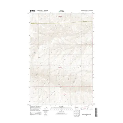
2013 Map of Black Rock Spring NE
USGS Topo · Published 2013About this map
Umtanum Ridge dominates the southern landscape of this 2013 survey, which documents the high desert terrain where the Kittitas Co and Yakima Co border divides the high country. This arid region is defined by a series of significant drainage systems, including Alkali Canyon and Corral Canyon in the west, and the steep Sourdough Canyon and Cow Canyon to the east. Human presence in this high-altitude environment is anchored by the Stewart Ranch, situated in the center of the quadrangle. The topography rises sharply to the Hog Ranch Buttes, showing the elevation changes and land-use patterns common in central Washington’s rangelands. The map provides a precise record of the road networks and public land survey system lines that organize this corner of the state.
Find a feature on this map
11 named features on this map. Tap any name to fly to it.
Don’t see what you’re looking for? This feature index may not catch every label — zoom into the map to look around manually.
Map Details
Editions of this 2013 Black Rock Spring NE Map
This is the sole edition of this map. No revisions or reprints were ever made.
Other maps of this area

1912 · Beverly
USGS Topo · 1:62,500

1917 · Priest Rapids
USGS Topo · 1:62,500

1936 · Hog Ranch Buttes
USGS Topo · 1:48,000

1939 · Boylston
USGS Topo · 1:48,000

1941 · Black Rock Spring
USGS Topo · 1:62,500

1943 · Boylston
USGS Topo · 1:62,500

1948 · Cairn Hope Peak
USGS Topo · 1:24,000

1948 · Priest Rapids
USGS Topo · 1:24,000

1950 · Yakima
USGS Topo · 1:250,000

1951 · Priest Rapids
USGS Topo · 1:62,500