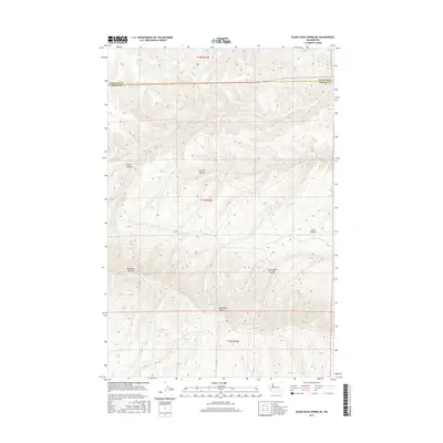
2017 Map of Black Rock Spring NE
USGS Topo · Published 2017About this map
Umtanum Ridge dominates this arid landscape at the boundary of Kittitas and Yakima counties. This 2017 survey details the complex topography of the ridge as it transitions into a series of deeply carved geographic features including Alkali Canyon, Corral Canyon, and Cow Canyon. The presence of the Hog Ranch Buttes in the southwestern quadrant provides a distinct landmark against the surrounding terrain. Unlike more developed regions, this map shows a landscape largely defined by its natural relief and drainage patterns, such as Sourdough Canyon, illustrating the remote character of this part of central Washington. The high-resolution contour data from the National Elevation Dataset provides a precise view of the various draws and ridgelines that characterize the area's geological structure.
Find a feature on this map
7 named features on this map. Tap any name to fly to it.
Don’t see what you’re looking for? This feature index may not catch every label — zoom into the map to look around manually.
Map Details
Editions of this 2017 Black Rock Spring NE Map
This is the sole edition of this map. No revisions or reprints were ever made.
Other maps of this area

1912 · Beverly
USGS Topo · 1:62,500

1917 · Priest Rapids
USGS Topo · 1:62,500

1936 · Hog Ranch Buttes
USGS Topo · 1:48,000

1939 · Boylston
USGS Topo · 1:48,000

1941 · Black Rock Spring
USGS Topo · 1:62,500

1943 · Boylston
USGS Topo · 1:62,500

1948 · Cairn Hope Peak
USGS Topo · 1:24,000

1948 · Priest Rapids
USGS Topo · 1:24,000

1950 · Yakima
USGS Topo · 1:250,000

1951 · Priest Rapids
USGS Topo · 1:62,500