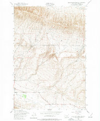
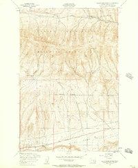
1953 Map of Black Rock Spring SW
USGS Topo · Published 1974About this map
The Yakima Firing Center Military Reservation dominates the northern landscape of this region, where the high terrain of Yakima Ridge meets the lower elevations of the Moxee Valley. Established in the early 1950s, this military footprint transformed the local topography into a secured training area, even as civilian life persisted at its southern borders. To the south, the Rattlesnake Hills rise above the valley floor, creating a stark contrast to the agricultural and research activities identified by the Plant Quarantine Station near the southern boundary. Small-scale infrastructure like the Abandoned Reservoir and the drainage of Selah Creek suggest the ongoing challenge of water management in this arid environment. Key transportation routes, including Desmarias Road and Hanford Road, provided essential access between the military installation and the surrounding valley communities.
Find a feature on this map
10 named features on this map. Tap any name to fly to it.
Don’t see what you’re looking for? This feature index may not catch every label — zoom into the map to look around manually.
Map Details
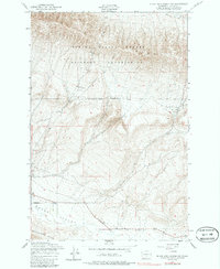
Editions of this 1953 Black Rock Spring SW Map
3 editions found
Other maps of this area

1910 · Zillah
USGS Topo · 1:125,000

1936 · Yakima East
USGS Topo · 1:48,000

1936 · Hog Ranch Buttes
USGS Topo · 1:48,000

1941 · Black Rock Spring
USGS Topo · 1:62,500

1941 · Yakima East
USGS Topo · 1:62,500

1950 · Yakima
USGS Topo · 1:250,000
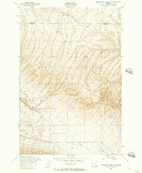
1953 · Black Rock Spring NW
USGS Topo · 1:24,000
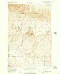
1953 · Black Rock Spring SW
USGS Topo · 1:24,000

1953 · Elephant Mountain
USGS Topo · 1:24,000
1953 · Black Rock Spring
USGS Topo · 1:24,000