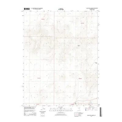
2014 Map of Black Rock Summit
USGS Topo · Published 2014About this map
Pancake Range dominates the topography of this high-desert region in Nye County. The landscape is defined by its significant relief, rising from the broad Big Round Valley in the east toward the high point at Black Rock Summit. This 2014 survey documents a terrain shaped by dramatic geological formations, most notably the steep escarpment of The Wall which cuts across the southern portion of the sheet. Hydrological features are sparse in this arid environment, making the location of Black Rock Spring a critical landmark for understanding historical movement and survival in the Great Basin. The grid of the Public Land Survey System, including townships t9n r54e and t8n r53e, provides the primary structure for this largely undeveloped Nevada wilderness.
Find a feature on this map
11 named features on this map. Tap any name to fly to it.
Don’t see what you’re looking for? This feature index may not catch every label — zoom into the map to look around manually.
Map Details
Editions of this 2014 Black Rock Summit Map
This is the sole edition of this map. No revisions or reprints were ever made.
Other maps of this area

1956 · Lund
USGS Topo · 1:250,000

1956 · Tonopah
USGS Topo · 1:250,000

1959 · Tonopah
USGS Topo · 1:250,000

1960 · Lund
USGS Topo · 1:250,000

1962 · Tonopah
USGS Topo · 1:250,000

1967 · Lunar Crater
USGS Topo · 1:62,500

1967 · Moores Station
USGS Topo · 1:62,500

1967 · Moores Station SE
USGS Topo · 1:24,000

1967 · Lunar Crater
USGS Topo · 1:24,000

1967 · Chaos Creek
USGS Topo · 1:24,000