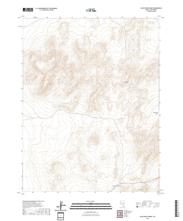
2021 Map of Black Rock Summit
USGS Topo · Published 2021About this map
Black Rock Spring emerges at the southern edge of the high desert terrain in this section of Nye County, serving as a rare water source in a landscape defined by elevation extremes. The topography is dominated by the ridges of the Pancake Range, which stretches across the northern half of the survey area. To the east, the terrain descends into the Big Round Valley, while the southern corridor is marked by the prominence of Black Rock Summit and the distinct formation known as The Wall. The map reveals a high-altitude wilderness where the township and range grid lines of t9n r53e and t8n r54e overlay a nearly untouched natural environment, characteristic of the Great Basin's basin-and-range structure.
Find a feature on this map
11 named features on this map. Tap any name to fly to it.
Don’t see what you’re looking for? This feature index may not catch every label — zoom into the map to look around manually.
Map Details
Editions of this 2021 Black Rock Summit Map
This is the sole edition of this map. No revisions or reprints were ever made.
Other maps of this area

1956 · Lund
USGS Topo · 1:250,000

1956 · Tonopah
USGS Topo · 1:250,000

1959 · Tonopah
USGS Topo · 1:250,000

1960 · Lund
USGS Topo · 1:250,000

1962 · Tonopah
USGS Topo · 1:250,000

1967 · Lunar Crater
USGS Topo · 1:62,500

1967 · Moores Station
USGS Topo · 1:62,500

1967 · Moores Station SE
USGS Topo · 1:24,000

1967 · Lunar Crater
USGS Topo · 1:24,000

1967 · Chaos Creek
USGS Topo · 1:24,000