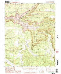
1987 Map of Black Steer Canyon
USGS Topo · Published 1987About this map
Black Steer Canyon and its complex network of tributary drainages dominate this 1987 provisional study of San Juan County, Utah. The landscape is defined by deep incisions through the high plateaus, including Youngs Canyon and Lost Canyon, which converge toward the Dark Canyon Wilderness. These natural barriers shaped the movement of early travelers and livestock, as seen in the isolated stretches of Lower Horse Flats and Upper Horse Flats that break the otherwise jagged terrain. While most of the area is protected within the Manti-La Sal National Forest, the map also documents an Indefinite Boundary along the eastern edge, highlighting the ongoing challenges of surveying this intricate canyon system. The high vantage of Black Point provides the central orientation for this part of the Colorado Plateau.
Find a feature on this map
12 named features on this map. Tap any name to fly to it.
Don’t see what you’re looking for? This feature index may not catch every label — zoom into the map to look around manually.
Map Details
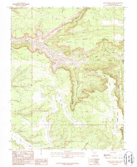
Editions of this 1987 Black Steer Canyon Map
2 editions found
Other maps of this area

1886 · Henry Mountains
USGS Topo · 1:250,000

1886 · Abajo
USGS Topo · 1:250,000

1892 · Abajo
USGS Topo · 1:250,000

1892 · Henry Mountains
USGS Topo · 1:250,000

1893 · Abajo
USGS Topo · 1:250,000

1935 · Elk Ridge
USGS Topo · 1:96,000

1940 · Elk Ridge
USGS Topo · 1:125,000

1952 · Mouth of Dark Canyon
USGS Topo · 1:62,500

1952 · Natural Bridges
USGS Topo · 1:62,500
1954 · White Canyon 1 NE
USGS Topo · 1:24,000