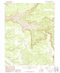
1987 Map of Black Steer Canyon
USGS Topo · Published 1987About this map
Dark Canyon Wilderness dominates this corner of San Juan County, revealing a complex drainage system defined by deep incisions through high plateau country. The 1987 survey details the dramatic transition from the tablelands of Black Point and Lower Horse Flats into the steep recesses of Youngs Canyon and Black Steer Canyon. These drainages converge toward the larger Dark Canyon system, a landscape almost entirely devoid of modern infrastructure save for a few remote 4wd tracks and an isolated Prospect. The boundary of the Manti-La Sal National Forest is clearly delineated, marking the edge of protected wilderness. This map is particularly useful for those studying the land use of the Upper Horse Flats area before modern recreation management altered the character of these high-desert drainages.
Find a feature on this map
16 named features on this map. Tap any name to fly to it.
Don’t see what you’re looking for? This feature index may not catch every label — zoom into the map to look around manually.
Map Details
Editions of this 1987 Black Steer Canyon Map
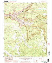
2 editions found
Other maps of this area

1886 · Henry Mountains
USGS Topo · 1:250,000

1886 · Abajo
USGS Topo · 1:250,000

1892 · Abajo
USGS Topo · 1:250,000

1892 · Henry Mountains
USGS Topo · 1:250,000

1893 · Abajo
USGS Topo · 1:250,000

1935 · Elk Ridge
USGS Topo · 1:96,000

1940 · Elk Ridge
USGS Topo · 1:125,000

1952 · Mouth of Dark Canyon
USGS Topo · 1:62,500

1952 · Natural Bridges
USGS Topo · 1:62,500
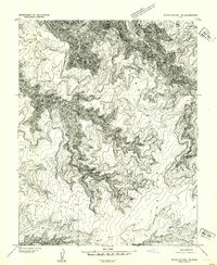
1954 · White Canyon 1 NE
USGS Topo · 1:24,000