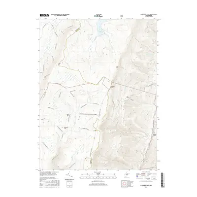
2016 Map of Blackbird Knob
USGS Topo · Published 2016About this map
Allegheny Front forms the dramatic eastern escarpment of this landscape, where the plateau of Dolly Sods drops away toward the Jordan Run valley. This 2016 survey highlights the intricate network of wilderness paths within the Monongahela National Forest, including the American Discovery Trail and the Blackbird Knob Trail. The terrain is defined by high-elevation peaks like Cabin Mtn and Blackbird Knob, interspersed with numerous headwater runs such as Red Cr and Alder Run.
Find a feature on this map
49 named features on this map. Tap any name to fly to it.
Don’t see what you’re looking for? This feature index may not catch every label — zoom into the map to look around manually.
Map Details
Editions of this 2016 Blackbird Knob Map
This is the sole edition of this map. No revisions or reprints were ever made.
Other maps of this area

1892 · Franklin
USGS Topo · 1:125,000

1895 · Piedmont
USGS Topo · 1:125,000

1896 · Franklin
USGS Topo · 1:125,000
1916 · Davis
USGS Topo · 1:48,000
1918 · Davis
USGS Topo · 1:62,500
1919 · Davis
USGS Topo · 1:62,500
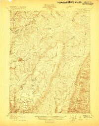
1920 · Davis
USGS Topo · 1:48,000
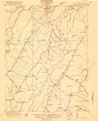
1920 · Petersburg
USGS Topo · 1:48,000
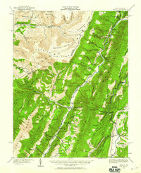
1920 · Onego
USGS Topo · 1:62,500
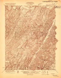
1921 · Petersburg
USGS Topo · 1:48,000