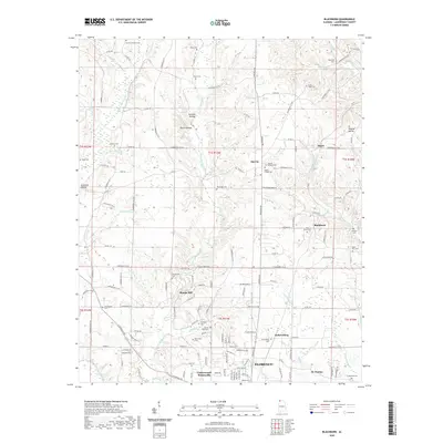
2020 Map of Blackburn
USGS Topo · Published 2020About this map
Zip City and Blackburn sit north of the expanding Florence suburbs, marking a landscape defined by the intricate creek systems of Lauderdale County. The northern reaches are carved by the valleys of Middle Cypress Cr and Little Cypress Creek, where family legacies are preserved in numerous small burial grounds such as the Charles Littleton Cem and Nolen Cem. To the south, the transition into more densely settled areas is evident in the communities of Jacksonburg, Underwood-Petersville, and the historic Catholic settlement of St. Florian.
Find a feature on this map
155 named features on this map. Tap any name to fly to it.
Don’t see what you’re looking for? This feature index may not catch every label — zoom into the map to look around manually.
Map Details
Editions of this 2020 Blackburn Map
This is the sole edition of this map. No revisions or reprints were ever made.
Other maps of this area

1905 · Waynesboro
USGS Topo · 1:125,000

1914 · Muscle Shoals
USGS Topo · 1:48,000

1916 · Muscle Shoals
USGS Topo · 1:62,500

1924 · Gravelly Springs
USGS Topo · 1:48,000

1926 · Gravelly Springs
USGS Topo · 1:62,500

1936 · Light
USGS Topo · 1:24,000

1936 · Threet
USGS Topo · 1:24,000

1936 · Cypress Inn
USGS Topo · 1:24,000

1936 · Pruitton
USGS Topo · 1:24,000

1936 · Florence
USGS Topo · 1:24,000