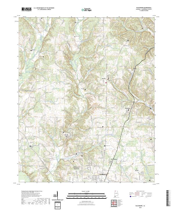
2024 Map of Blackburn
USGS Topo · Published 2024About this map
The creek-carved hills of Lauderdale County define this landscape north of Florence, where numerous small settlements and family burial grounds are linked by a dense network of country roads. The terrain is marked by prominent hollows like Gambill Hollow and Savannah Hollow, which funnel drainage into waterways such as Middle Cypress Creek and Wilson Branch.
Find a feature on this map
174 named features on this map. Tap any name to fly to it.
Don’t see what you’re looking for? This feature index may not catch every label — zoom into the map to look around manually.
Map Details
Editions of this 2024 Blackburn Map
This is the sole edition of this map. No revisions or reprints were ever made.
Other maps of this area

1905 · Waynesboro
USGS Topo · 1:125,000

1914 · Muscle Shoals
USGS Topo · 1:48,000

1916 · Muscle Shoals
USGS Topo · 1:62,500

1924 · Gravelly Springs
USGS Topo · 1:48,000

1926 · Gravelly Springs
USGS Topo · 1:62,500

1936 · Light
USGS Topo · 1:24,000

1936 · Threet
USGS Topo · 1:24,000

1936 · Cypress Inn
USGS Topo · 1:24,000

1936 · Pruitton
USGS Topo · 1:24,000

1936 · Florence
USGS Topo · 1:24,000