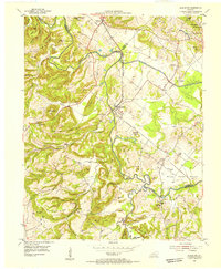
1954 Map of Blackford
USGS Topo · Published 1955About this map
The Tradewater River winds through the borderlands of Union, Crittenden, and Webster Counties, anchoring a mid-century landscape of small farming communities and emerging industry. The Illinois Central railroad defines the central corridor, passing through the town of Blackford and near the settlement of Sullivan. Evidence of the region's geological transition is clear in the northern sections, where strip mines and oil wells appear alongside traditional agriculture. For genealogists and local historians, the map preserves the locations of several community landmarks, including Nunn Cem, Crowell Cem, and King Cem, alongside country churches like Enon Ch and Black Grove Ch. The terrain is characterized by numerous family-named peaks and hollows, such as Bob Lee Phillips Hill and Duffy Hollow, reflecting a deeply rooted local identity.
Find a feature on this map
65 named features on this map. Tap any name to fly to it.
Don’t see what you’re looking for? This feature index may not catch every label — zoom into the map to look around manually.
Map Details
Editions of this 1954 Blackford Map
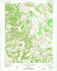
2 editions found
Other maps of this area

1907 · Morganfield
USGS Topo · 1:62,500

1909 · Providence
USGS Topo · 1:62,500

1916 · Shawneetown
USGS Topo · 1:62,500

1916 · Fords Ferry
USGS Topo · 1:62,500

1921 · Fords Ferry
USGS Topo · 1:48,000

1925 · Cave In Rock
USGS Topo · 1:62,500

1949 · Paducah
USGS Topo · 1:250,000

1950 · Paducah
USGS Topo · 1:250,000
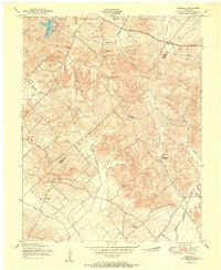
1951 · Bordley
USGS Topo · 1:24,000

1951 · Sturgis
USGS Topo · 1:24,000