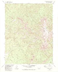
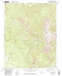
1984 Map of Blackhead Peak
USGS Topo · Published 1984About this map
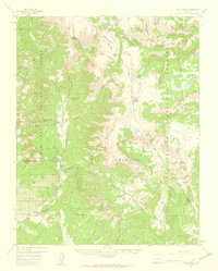
South San Juan Wilderness defines this high-elevation landscape within the San Juan National Forest as it appeared in the late 1970s and early 1980s. The terrain is dominated by prominent summits including Blackhead Peak, Nipple Mountain, and the jagged formation known as The Needles. The map illustrates a network of pack trails and jeep trails that provide the only access through these steep drainages, where several waterways like Rito Blanco, Coal Creek, and Mariposa Creek descend from the heights of Quartz Ridge.
Find a feature on this map
26 named features on this map. Tap any name to fly to it.
Don’t see what you’re looking for? This feature index may not catch every label — zoom into the map to look around manually.
Map Details
Editions of this 1984 Blackhead Peak Map
2 editions found
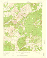
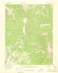
Other maps of this area

1913 · Summitville
USGS Topo · 1:125,000

1915 · Summitville
USGS Topo · 1:125,000

1945 · Durango
USGS Topo · 1:250,000

1953 · Durango
USGS Topo · 1:250,000

1954 · Durango
USGS Topo · 1:250,000
1957 · Chromo
USGS Topo · 1:62,500
1957 · Wolf Creek Pass
USGS Topo · 1:62,500
1957 · Chama Peak
USGS Topo · 1:62,500

1961 · Durango
USGS Topo · 1:250,000

1963 · Durango
USGS Topo · 1:250,000