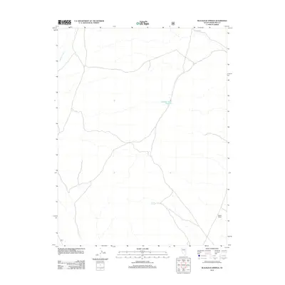
2012 Map of Blackjack Springs
USGS Topo · Published 2012About this map
Blackjack Springs lies within the high desert landscape of eastern Nevada, appearing here as a vital water source in an otherwise arid expanse. This 2012 survey by the U.S. Geological Survey details a network of drainage features and isolated water management points, including the Deadman Gulch Reservoir and Deadman Wash. The topography is marked by significant elevation changes that define the Sierra Valley, where seasonal watercourses like Jakes Wash channel run-off through the basin. The map illustrates a remote territory characterized by scattered infrastructure and long-established ranching or land management routes, providing a clear record of the area's hydrology and land use in the early twenty-first century.
Find a feature on this map
5 named features on this map. Tap any name to fly to it.
Don’t see what you’re looking for? This feature index may not catch every label — zoom into the map to look around manually.
Map Details
Editions of this 2012 Blackjack Springs Map
This is the sole edition of this map. No revisions or reprints were ever made.
Other maps of this area

1949 · Treasure Hill
USGS Topo · 1:62,500

1950 · Treasure Hill
USGS Topo · 1:62,500

1956 · Lund
USGS Topo · 1:250,000

1956 · Ely
USGS Topo · 1:250,000

1957 · Currant Mtn
USGS Topo · 1:62,500

1958 · Giroux Wash
USGS Topo · 1:24,000

1959 · Ely
USGS Topo · 1:250,000

1959 · Preston Reservoir
USGS Topo · 1:62,500

1960 · Lund
USGS Topo · 1:250,000

1963 · Ely
USGS Topo · 1:250,000