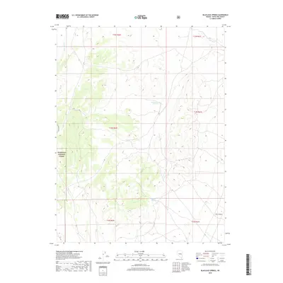
2018 Map of Blackjack Springs
USGS Topo · Published 2018About this map
Blackjack Springs lies within the expansive high-desert terrain of eastern Nevada, where the drainage systems of Deadman Wash and Jakes Wash carve through the landscape. This 2018 survey documents a region defined by public lands and ranching history, with a significant portion of the western territory falling under the management of the Humboldt National Forest. In the southeastern corner, the topography softens into the Sierra Valley, while the central highlands are marked by the presence of the Deadman Gulch Reservoir, a vital water management feature for the surrounding arid environment. The appearance of Mustang Ranch on the western edge provides a specific point of reference for land use in this part of White Pine County, illustrating the sparse but enduring presence of human enterprise in the Great Basin. Local history researchers can trace the modern Public Land Survey System boundaries across this corner of the state, including townships T14N R60E and T14N R61E.
Find a feature on this map
13 named features on this map. Tap any name to fly to it.
Don’t see what you’re looking for? This feature index may not catch every label — zoom into the map to look around manually.
Map Details
Editions of this 2018 Blackjack Springs Map
This is the sole edition of this map. No revisions or reprints were ever made.
Other maps of this area

1949 · Treasure Hill
USGS Topo · 1:62,500

1950 · Treasure Hill
USGS Topo · 1:62,500

1956 · Lund
USGS Topo · 1:250,000

1956 · Ely
USGS Topo · 1:250,000

1957 · Currant Mtn
USGS Topo · 1:62,500

1958 · Giroux Wash
USGS Topo · 1:24,000

1959 · Ely
USGS Topo · 1:250,000

1959 · Preston Reservoir
USGS Topo · 1:62,500

1960 · Lund
USGS Topo · 1:250,000

1963 · Ely
USGS Topo · 1:250,000