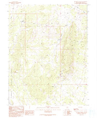
1990 Map of Blackjack Springs
USGS Topo · Published 1991About this map
Humboldt National Forest lands dominate this high-desert landscape in White Pine County, showing a remote interior marked primarily by ranching and resource extraction. The area is defined by seasonal water drainage and specialized infrastructure, with Deadman Gulch Reservoir and Blackjack Springs providing critical water points in an otherwise arid environment. Along Deadman Gulch and the surrounding slopes, numerous Prospect and Prospects sites indicate historical mineral exploration that shaped the local economy.
Find a feature on this map
17 named features on this map. Tap any name to fly to it.
Don’t see what you’re looking for? This feature index may not catch every label — zoom into the map to look around manually.
Map Details
Editions of this 1990 Blackjack Springs Map
This is the sole edition of this map. No revisions or reprints were ever made.
Other maps of this area

1949 · Treasure Hill
USGS Topo · 1:62,500

1950 · Treasure Hill
USGS Topo · 1:62,500

1956 · Lund
USGS Topo · 1:250,000

1956 · Ely
USGS Topo · 1:250,000

1957 · Currant Mtn
USGS Topo · 1:62,500

1958 · Giroux Wash
USGS Topo · 1:24,000

1959 · Ely
USGS Topo · 1:250,000

1959 · Preston Reservoir
USGS Topo · 1:62,500

1960 · Lund
USGS Topo · 1:250,000

1963 · Ely
USGS Topo · 1:250,000