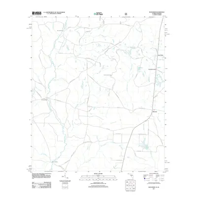
2011 Map of Blackman
USGS Topo · Published 2011About this map
Escambia Farms and Blackman anchor this rural landscape in northern Okaloosa County, where the topography is defined by the winding course of the Blackwater River. The river is crossed by local landmarks such as Peaden Bridge and Red Oak Bridge, reflecting a history of timber and agricultural transport. The area is dotted with small-scale water features and named ponds, including E C Youngblood Pond and O G Steele Pond, which characterize the drainage patterns of the Panther Creek and Mare Creek systems. A network of family-named roads, such as Sherman Kennedy Rd and Mattie Kennedy Rd, suggests a long-standing community tied to the land. The presence of the Sand Hill Lookout Tower indicates the importance of forest management in this region, while recreational and natural areas like Karick Lake provide a focus for local activity near the southern reaches of the quadrangle.
Find a feature on this map
63 named features on this map. Tap any name to fly to it.
Don’t see what you’re looking for? This feature index may not catch every label — zoom into the map to look around manually.
Map Details
Editions of this 2011 Blackman Map
This is the sole edition of this map. No revisions or reprints were ever made.
Other maps of this area

1948 · Munson
USGS Topo · 1:62,500

1949 · Crestview
USGS Topo · 1:62,500

1950 · Munson
USGS Topo · 1:62,500

1951 · Crestview
USGS Topo · 1:62,500

1953 · Andalusia
USGS Topo · 1:250,000

1957 · Andalusia
USGS Topo · 1:250,000

1957 · Pensacola
USGS Topo · 1:250,000

1959 · Pensacola
USGS Topo · 1:250,000

1960 · Pensacola
USGS Topo · 1:250,000

1971 · Bradley
USGS Topo · 1:24,000