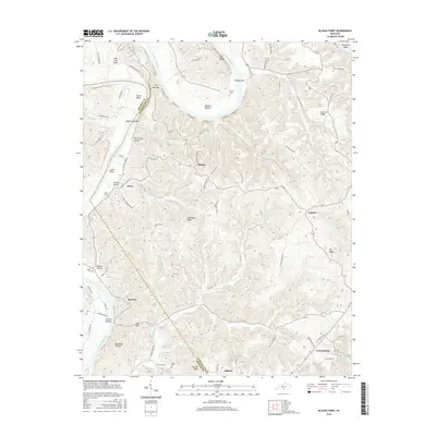
2016 Map of Blacks Ferry
USGS Topo · Published 2016About this map
The Cumberland River carves a dramatic, winding path through the borderlands of Cumberland and Monroe counties, defining the landscape with its tight switchbacks and alluvial bottoms. Significant bends like Elbow Bend, Salt Lick Bend, and Herefords Bend created isolated pockets of farmable land, such as Washes Bottom and Vernon Bottom, which supported generations of rural families. The eponymous Blacks Ferry landmark serves as a reminder of the vital river crossings that once linked these ridge-top communities before modern infrastructure.
Find a feature on this map
105 named features on this map. Tap any name to fly to it.
Don’t see what you’re looking for? This feature index may not catch every label — zoom into the map to look around manually.
Map Details
Editions of this 2016 Blacks Ferry Map
This is the sole edition of this map. No revisions or reprints were ever made.
Other maps of this area

1924 · Lillydale
USGS Topo · 1:62,500

1926 · Lillydale
USGS Topo · 1:62,500

1929 · Lillydale
USGS Topo · 1:62,500

1929 · Tompkinsville
USGS Topo · 1:62,500

1953 · Waterview
USGS Topo · 1:24,000

1953 · Burkesville
USGS Topo · 1:24,000

1953 · Dubre
USGS Topo · 1:24,000

1954 · Frogue
USGS Topo · 1:24,000

1954 · Blacks Ferry
USGS Topo · 1:24,000
1954 · Vernon
USGS Topo · 1:24,000