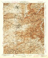
1937 Map of Blacksburg
USGS Topo · Published 1937About this map
Virginia Polytechnic Institute and the growing municipality of Blacksburg dominate the northern portion of this 1930s survey, illustrating a region defined by its academic, industrial, and agricultural intersections. The rugged Montgomery County landscape is marked by the presence of both the Norfolk and Western and Virginian railroads, which facilitated the extraction of local resources at sites like the Merrimac Mines and the Arsenic Mine near Huffville. Between the high ridges of Brush Mtn and Paris Mountain, dozens of small schoolhouses and churches, such as the Oak Grove Sch and Fairview Ch, serve a network of rural crossroads.
Find a feature on this map
105 named features on this map. Tap any name to fly to it.
Don’t see what you’re looking for? This feature index may not catch every label — zoom into the map to look around manually.
Map Details
Editions of this 1937 Blacksburg Map
3 editions found

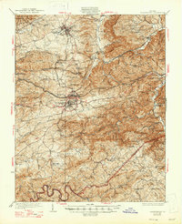
Other maps of this area

1889 · Hillsville
USGS Topo · 1:125,000

1890 · Dublin
USGS Topo · 1:125,000

1890 · Christiansburg
USGS Topo · 1:125,000

1891 · Dublin
USGS Topo · 1:125,000

1892 · Hillsville
USGS Topo · 1:125,000
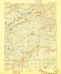
1896 · Hillsville
USGS Topo · 1:125,000
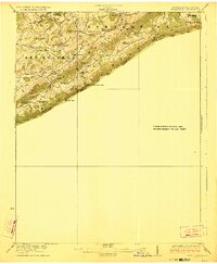
1923 · Pearisburg
USGS Topo · 1:62,500
1923 · Waiteville
USGS Topo · 1:62,500
1929 · Salem
USGS Topo · 1:48,000
1931 · Waiteville
USGS Topo · 1:48,000