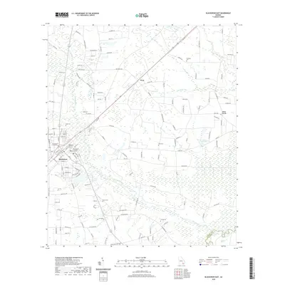
2020 Map of Blackshear East
USGS Topo · Published 2020About this map
The Alabaha River and its wide, swampy tributaries dominate this part of Southeast Georgia, where the city of Blackshear serves as the seat of Pierce County. The landscape is a network of slow-moving water and wetlands, including the expansive Raulerson Swamp and Cross Swamp to the east. The city center is marked by several public landmarks, such as the Pierce County Courthouse and its Pierce County Courthouse Annex III, showing the continued importance of this civic hub.
Find a feature on this map
145 named features on this map. Tap any name to fly to it.
Don’t see what you’re looking for? This feature index may not catch every label — zoom into the map to look around manually.
Map Details
Editions of this 2020 Blackshear East Map
This is the sole edition of this map. No revisions or reprints were ever made.
Other maps of this area

1953 · Waycross
USGS Topo · 1:250,000

1958 · Waycross
USGS Topo · 1:250,000
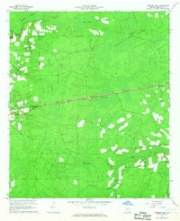
1966 · Hoboken East
USGS Topo · 1:24,000

1967 · Hoboken West
USGS Topo · 1:24,000

1967 · Waycross East
USGS Topo · 1:24,000

1971 · Blackshear East
USGS Topo · 1:24,000

1971 · Patterson
USGS Topo · 1:24,000
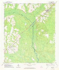
1971 · Screven
USGS Topo · 1:24,000

1971 · Blackshear West
USGS Topo · 1:24,000

1971 · Mershon
USGS Topo · 1:24,000