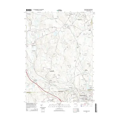
2015 Map of Blackstone
USGS Topo · Published 2015About this map
Blackstone River and Mill River anchor this industrial and residential landscape straddling the Massachusetts-Rhode Island border. The area is characterized by a dense network of historically significant sites, particularly concentrated around Millville, Blackstone, and the northern edge of Woonsocket. For genealogists, the map is remarkably dense with burial grounds including Saint Stanislaus Cem, Saint Charles Cem, Saint Micheals Cem, and the historic Chestnut Hill Meeting House Cem.
Find a feature on this map
242 named features on this map. Tap any name to fly to it.
Don’t see what you’re looking for? This feature index may not catch every label — zoom into the map to look around manually.
Map Details
Editions of this 2015 Blackstone Map
This is the sole edition of this map. No revisions or reprints were ever made.
Other maps of this area

1886 · Blackstone
USGS Topo · 1:62,500

1887 · Franklin
USGS Topo · 1:62,500

1887 · Providence
USGS Topo · 1:62,500

1889 · Providence
USGS Topo · 1:62,500

1889 · Blackstone
USGS Topo · 1:62,500

1889 · Franklin
USGS Topo · 1:62,500

1889 · Burrillville
USGS Topo · 1:62,500

1893 · Franklin
USGS Topo · 1:62,500

1893 · Blackstone
USGS Topo · 1:62,500

1894 · Burrillville
USGS Topo · 1:62,500