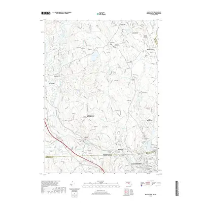
2018 Map of Blackstone
USGS Topo · Published 2018About this map
Woonsocket and the surrounding borderlands of Massachusetts and Rhode Island are defined by the winding course of the Mill River and the dramatic Blackstone Gorge. This 2018 survey reveals a landscape where colonial-era roots intersect with modern development, particularly evident in the preservation of the Chestnut Hill Meeting House and its adjacent Chestnut Hill Meeting House Cem. The mapping shows a high density of religious and civic landmarks in the industrial corridors, from the Saint Charles Cem in Blackstone to the Hopedale Industrial Park Airport near South Milford.
Find a feature on this map
151 named features on this map. Tap any name to fly to it.
Don’t see what you’re looking for? This feature index may not catch every label — zoom into the map to look around manually.
Map Details
Editions of this 2018 Blackstone Map
This is the sole edition of this map. No revisions or reprints were ever made.
Other maps of this area

1886 · Blackstone
USGS Topo · 1:62,500

1887 · Franklin
USGS Topo · 1:62,500

1887 · Providence
USGS Topo · 1:62,500

1889 · Providence
USGS Topo · 1:62,500

1889 · Blackstone
USGS Topo · 1:62,500

1889 · Franklin
USGS Topo · 1:62,500

1889 · Burrillville
USGS Topo · 1:62,500

1893 · Franklin
USGS Topo · 1:62,500

1893 · Blackstone
USGS Topo · 1:62,500

1894 · Burrillville
USGS Topo · 1:62,500