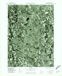
1977 Map of Blackstone
USGS Topo · Published 1981About this map
The Blackstone River corridor defines this 1970s orthophotograph, capturing the industrial and residential development of the Massachusetts and Rhode Island borderlands. Unlike traditional topographic maps, this aerial perspective provides a concrete look at the dense urban fabric of Woonsocket and the village centers of Blackstone and Millville. The imagery documents the relationship between the river and the settlements that grew along its banks, showing the concentrated infrastructure in the valley contrasted with the more wooded, rural surroundings near Mendon. Smaller localities like Ironstone and South Milford appear as distinct clusters within the landscape, while the confluence of the West River and the Mill River underscores the importance of these waterways to the region's historic growth and layout.
Find a feature on this map
9 named features on this map. Tap any name to fly to it.
Don’t see what you’re looking for? This feature index may not catch every label — zoom into the map to look around manually.
Map Details
Editions of this 1977 Blackstone Map
This is the sole edition of this map. No revisions or reprints were ever made.
Other maps of this area

1886 · Blackstone
USGS Topo · 1:62,500

1887 · Franklin
USGS Topo · 1:62,500

1887 · Providence
USGS Topo · 1:62,500

1889 · Providence
USGS Topo · 1:62,500

1889 · Blackstone
USGS Topo · 1:62,500

1889 · Franklin
USGS Topo · 1:62,500

1889 · Burrillville
USGS Topo · 1:62,500

1893 · Franklin
USGS Topo · 1:62,500

1893 · Blackstone
USGS Topo · 1:62,500

1894 · Burrillville
USGS Topo · 1:62,500