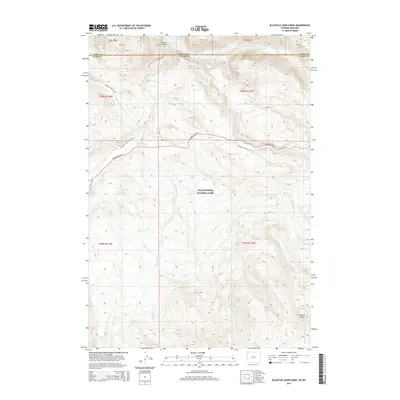
2015 Map of Blacktail Deer Creek
USGS Topo · Published 2015About this map
Yellowstone National Park terrain defines this landscape, where the Yellowstone River cuts through the northern reaches of the park along the Montana-Wyoming border. The geography is marked by significant elevation changes, rising from the riverbanks to the heights of Prospect Peak in the southeast. Historical travel routes are well-preserved here, centered on the Grand Loop Rd and a network of paths including the Rescue Creek Trail and Wraith Falls Trail.
Find a feature on this map
31 named features on this map. Tap any name to fly to it.
Don’t see what you’re looking for? This feature index may not catch every label — zoom into the map to look around manually.
Map Details
Editions of this 2015 Blacktail Deer Creek Map
This is the sole edition of this map. No revisions or reprints were ever made.
Other maps of this area

1885 · Gallatin
USGS Topo · 1:125,000

1885 · Gallatin
USGS Topo · 1:125,000

1886 · Canyon
USGS Topo · 1:125,000

1891 · Livingston
USGS Topo · 1:250,000

1893 · Livingston
USGS Topo · 1:250,000

1895 · Canyon
USGS Topo · 1:125,000

1896 · Canyon
USGS Topo · 1:125,000

1901 · Canyon
USGS Topo · 1:125,000

1901 · Gallatin
USGS Topo · 1:125,000

1907 · Canyon
USGS Topo · 1:125,000