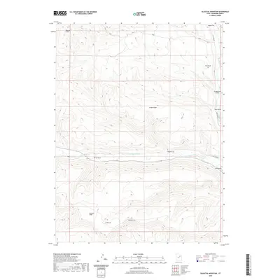
2020 Map of Blacktail Mountain
USGS Topo · Published 2020About this map
The Duchesne River carves a deep path through this portion of the Uinta Valley, where the watercourse acts as a primary geographical anchor. To the north, the terrain rises sharply toward McAfee Ridge and the prominent landmark known as The Nipple, while the southern reaches are dominated by the high elevations of Blacktail Mtn and its associated Blacktail Ridge. The map documents a landscape defined by significant drainage features and traditional access routes, including Rock Creek Rd and Rail Creek Rd, which follow the natural contours of the land. Small-scale topographical details such as Sadies Flat and Sand Wash offer specific points of interest for researchers studying the land-use patterns and historical hydrology of Duchesne County.
Find a feature on this map
16 named features on this map. Tap any name to fly to it.
Don’t see what you’re looking for? This feature index may not catch every label — zoom into the map to look around manually.
Map Details
Editions of this 2020 Blacktail Mountain Map
This is the sole edition of this map. No revisions or reprints were ever made.
Other maps of this area

1885 · Uinta
USGS Topo · 1:250,000

1939 · Duchesne
USGS Topo · 1:125,000

1954 · Salt Lake City
USGS Topo · 1:250,000

1958 · Salt Lake City
USGS Topo · 1:250,000

1960 · Salt Lake City
USGS Topo · 1:250,000

1962 · Strawberry Pinnacles
USGS Topo · 1:24,000

1962 · Blacktail Mtn
USGS Topo · 1:24,000

1962 · Tabiona
USGS Topo · 1:24,000

1962 · Rabbit Gulch
USGS Topo · 1:24,000

1962 · Dry Mountain
USGS Topo · 1:24,000