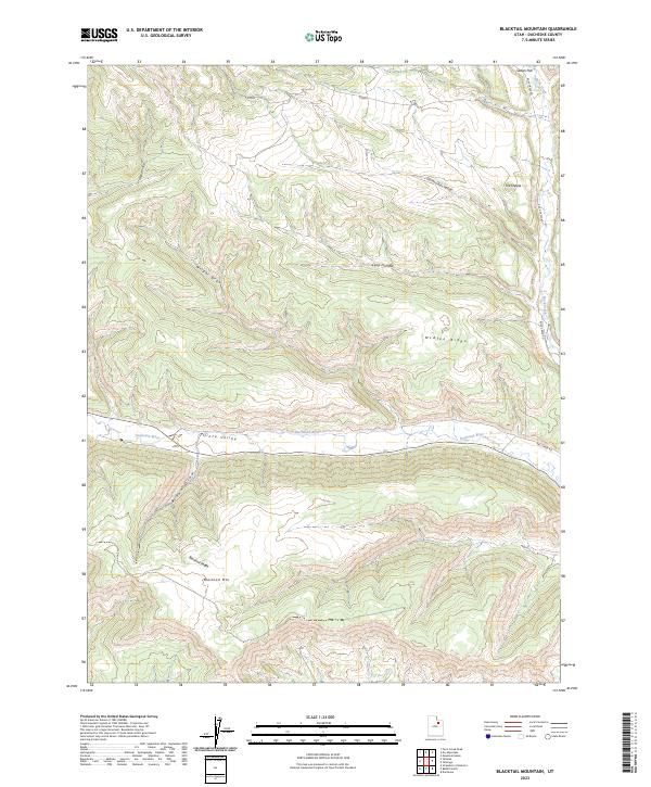
2023 Map of Blacktail Mountain
USGS Topo · Published 2023About this map
The Duchesne River flows through the central portion of this Duchesne County landscape, carving a prominent path through the Uinta Valley. To the south, the terrain rises sharply toward the namesake summit of Blacktail Mtn and the long extension of Blacktail Ridge. This 2023 edition reflects a region defined by complex drainage systems and high-desert relief, with numerous draws and hollows such as Brown Draw and Wagstaff Hollow feeding into the river valley. The northeastern corner is marked by the rugged descent of Rock Creek and distinct landmarks like The Nipple and Sadies Flat. Infrastructure is limited primarily to rural access routes including Rock Creek Rd and Rail Creek Rd, illustrating the low-density settlement pattern of this part of eastern Utah.
Find a feature on this map
15 named features on this map. Tap any name to fly to it.
Don’t see what you’re looking for? This feature index may not catch every label — zoom into the map to look around manually.
Map Details
Editions of this 2023 Blacktail Mountain Map
This is the sole edition of this map. No revisions or reprints were ever made.
Other maps of this area

1885 · Uinta
USGS Topo · 1:250,000

1939 · Duchesne
USGS Topo · 1:125,000

1954 · Salt Lake City
USGS Topo · 1:250,000

1958 · Salt Lake City
USGS Topo · 1:250,000

1960 · Salt Lake City
USGS Topo · 1:250,000

1962 · Strawberry Pinnacles
USGS Topo · 1:24,000

1962 · Blacktail Mtn
USGS Topo · 1:24,000

1962 · Tabiona
USGS Topo · 1:24,000

1962 · Rabbit Gulch
USGS Topo · 1:24,000

1962 · Dry Mountain
USGS Topo · 1:24,000