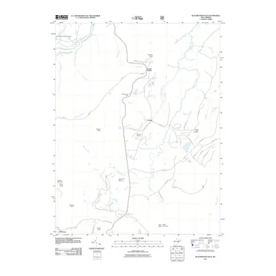
2011 Map of Blackwater Falls
USGS Topo · Published 2011About this map
Blackwater Falls and the headwaters of the Blackwater River define this high-altitude landscape of Tucker County. The area is characterized by the high valley topography of Canaan Mountain and Cabin Mountain, where drainage patterns like Devils Run, Flat Run, and Mill Run feed into the central river system. The settlement of Cortland serves as a local focal point near the Cortland Cemetery, while Canaan Heights marks the transition toward the northwestern plateau.
Find a feature on this map
56 named features on this map. Tap any name to fly to it.
Don’t see what you’re looking for? This feature index may not catch every label — zoom into the map to look around manually.
Map Details
Editions of this 2011 Blackwater Falls Map
This is the sole edition of this map. No revisions or reprints were ever made.
Other maps of this area

1886 · St. George
USGS Topo · 1:125,000

1889 · Beverly
USGS Topo · 1:125,000

1891 · St. George
USGS Topo · 1:125,000

1892 · Beverly
USGS Topo · 1:125,000

1892 · Franklin
USGS Topo · 1:125,000

1895 · Piedmont
USGS Topo · 1:125,000

1896 · Franklin
USGS Topo · 1:125,000

1908 · Parsons
USGS Topo · 1:62,500

1916 · Davis
USGS Topo · 1:48,000

1918 · Davis
USGS Topo · 1:62,500