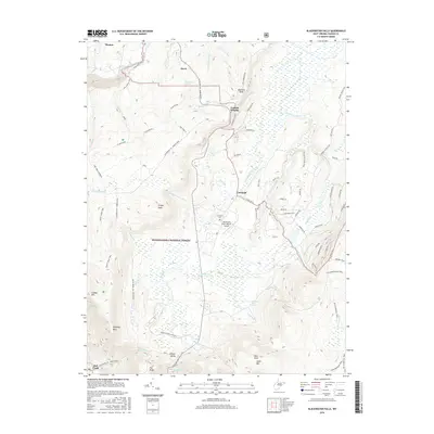
2016 Map of Blackwater Falls
USGS Topo · Published 2016About this map
The Blackwater River and its numerous tributaries, including Engine Run and Red Creek, define the complex drainage patterns of this high-elevation landscape within the Monongahela National Forest. The map details the transition from the industrial and residential centers of Thomas and Davis in the north to the more agrarian and recreational character of Canaan Valley in the south. High peaks such as Bearden Knob and Cabin Mtn flank the valleys, while localized landmarks like Chimney Rock and Flat Ridge highlight the distinctive geology. In the central valley, the small settlement of Cortland and the nearby Cortland Cem represent the long-standing community footprint, juxtaposed with modern recreational infrastructure like the Windwood Fly-In Resort Airport. A dense network of former resource roads, such as Old Logging Road and various Plantation trails, indicates a history of forest management and timber extraction across the Allegheny front.
Find a feature on this map
70 named features on this map. Tap any name to fly to it.
Don’t see what you’re looking for? This feature index may not catch every label — zoom into the map to look around manually.
Map Details
Editions of this 2016 Blackwater Falls Map
This is the sole edition of this map. No revisions or reprints were ever made.
Other maps of this area

1886 · St. George
USGS Topo · 1:125,000

1889 · Beverly
USGS Topo · 1:125,000

1891 · St. George
USGS Topo · 1:125,000

1892 · Beverly
USGS Topo · 1:125,000

1892 · Franklin
USGS Topo · 1:125,000

1895 · Piedmont
USGS Topo · 1:125,000

1896 · Franklin
USGS Topo · 1:125,000

1908 · Parsons
USGS Topo · 1:62,500

1916 · Davis
USGS Topo · 1:48,000

1918 · Davis
USGS Topo · 1:62,500