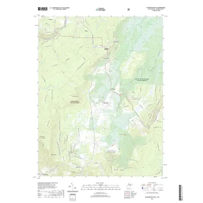
2019 Map of Blackwater Falls
USGS Topo · Published 2019About this map
Blackwater Falls and the Blackwater River define this high-altitude landscape where the towns of Thomas and Davis sit at the northern edge of the Monongahela National Forest. The map documents a complex network of recreational and historic paths, including the American Discovery Trail, Balsam Fir Trail, and numerous fire trails that crisscross the terrain between Bearden Knob and Canaan Mtn.
Find a feature on this map
100 named features on this map. Tap any name to fly to it.
Don’t see what you’re looking for? This feature index may not catch every label — zoom into the map to look around manually.
Map Details
Editions of this 2019 Blackwater Falls Map
This is the sole edition of this map. No revisions or reprints were ever made.
Other maps of this area

1886 · St. George
USGS Topo · 1:125,000

1889 · Beverly
USGS Topo · 1:125,000

1891 · St. George
USGS Topo · 1:125,000

1892 · Beverly
USGS Topo · 1:125,000

1892 · Franklin
USGS Topo · 1:125,000

1895 · Piedmont
USGS Topo · 1:125,000

1896 · Franklin
USGS Topo · 1:125,000

1908 · Parsons
USGS Topo · 1:62,500

1916 · Davis
USGS Topo · 1:48,000

1918 · Davis
USGS Topo · 1:62,500