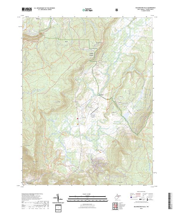
2023 Map of Blackwater Falls
USGS Topo · Published 2023About this map
Canaan Valley sits at the heart of this high-altitude landscape, where the Blackwater River and its tributaries like Devils Run and Club Run meander through the Canaan Valley National Wildlife Refuge. The map details the transition from the industrial history of Thomas and Davis to a modern focus on conservation and recreation, evidenced by the extensive network of trails such as the Plantation Trl and Yellow Birch Trl. The inclusion of the Windwood Fly-In Resort Airport and the Cortland Cem near the settlement of Cortland provides a look at both the contemporary resort economy and the long-standing agricultural roots of the valley floor. To the west, the steep descent at Blackwater Falls marks the edge of Canaan Mtn, while the eastern border is defined by the high peaks of Cabin Mtn and the wilderness of Dolly Sods Wilderness.
Find a feature on this map
103 named features on this map. Tap any name to fly to it.
Don’t see what you’re looking for? This feature index may not catch every label — zoom into the map to look around manually.
Map Details
Editions of this 2023 Blackwater Falls Map
This is the sole edition of this map. No revisions or reprints were ever made.
Other maps of this area

1886 · St. George
USGS Topo · 1:125,000

1889 · Beverly
USGS Topo · 1:125,000

1891 · St. George
USGS Topo · 1:125,000

1892 · Beverly
USGS Topo · 1:125,000

1892 · Franklin
USGS Topo · 1:125,000

1895 · Piedmont
USGS Topo · 1:125,000

1896 · Franklin
USGS Topo · 1:125,000

1908 · Parsons
USGS Topo · 1:62,500

1916 · Davis
USGS Topo · 1:48,000

1918 · Davis
USGS Topo · 1:62,500