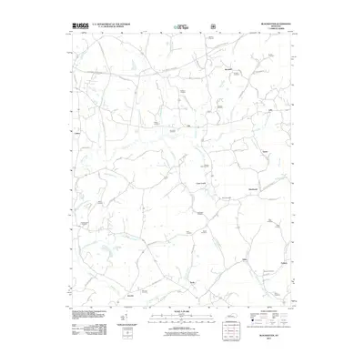
2011 Map of Blackwater
USGS Topo · Published 2011About this map
Marydell and Blackwater anchor this corner of Knox County, where the landscape is defined by the branching tributaries of the Laurel River and Richland Creek. The 2011 survey reveals a settlement pattern deeply tied to family and community history, evidenced by a high density of small burial grounds such as the McFadden Cemetery, Hoskins Cemetery, and Joe Jones Cemetery. Modern infrastructure like the Dainiel Boone / Hal Rogers Pkwy cuts across the northern reaches, while older local routes like Rough Creek School Rd and Laurel River Church Rd point to the historic social centers of these rural communities. The map shows the transition from the upper reaches of Muddygut Creek down toward the southern settlements of Tuttle and Fletcher, providing a clear look at the area's geography before further modern development.
Find a feature on this map
94 named features on this map. Tap any name to fly to it.
Don’t see what you’re looking for? This feature index may not catch every label — zoom into the map to look around manually.
Map Details
Editions of this 2011 Blackwater Map
This is the sole edition of this map. No revisions or reprints were ever made.
Other maps of this area

1886 · Cumberland Gap
USGS Topo · 1:125,000

1888 · Cumberland Gap
USGS Topo · 1:125,000

1890 · Williamsburg
USGS Topo · 1:125,000

1891 · Manchester
USGS Topo · 1:125,000

1891 · Cumberland Gap
USGS Topo · 1:125,000

1893 · London
USGS Topo · 1:125,000

1894 · Williamsburg
USGS Topo · 1:125,000

1897 · London
USGS Topo · 1:125,000

1952 · Portersburg
USGS Topo · 1:24,000

1952 · Corbin
USGS Topo · 1:24,000