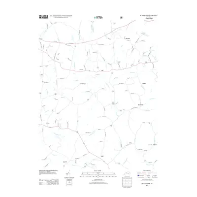
2013 Map of Blackwater
USGS Topo · Published 2013About this map
The Laurel River winds through this rural landscape, joined by a dense network of tributaries including Blackwater Cr and Robinson Cr. Small settlements and named corners such as Blackwater, Tuttle, and Marydell are connected by a web of local roads and the prominent Hal Rogers Pkwy. The area is notably dense with small family and community burial grounds, which provide significant data for genealogical research. Locations like Merrimac Cem, Pilgrims Rest Cem, and McFadden Cem are scattered across the terrain, often situated near old homesteads or road junctions. Evidence of local infrastructure is found in labels such as Rough Creek School Rd, reflecting the community's historical development and the transition from traditional creek-bottom settlements to modern highway connectivity.
Find a feature on this map
125 named features on this map. Tap any name to fly to it.
Don’t see what you’re looking for? This feature index may not catch every label — zoom into the map to look around manually.
Map Details
Editions of this 2013 Blackwater Map
This is the sole edition of this map. No revisions or reprints were ever made.
Other maps of this area

1886 · Cumberland Gap
USGS Topo · 1:125,000

1888 · Cumberland Gap
USGS Topo · 1:125,000

1890 · Williamsburg
USGS Topo · 1:125,000

1891 · Manchester
USGS Topo · 1:125,000

1891 · Cumberland Gap
USGS Topo · 1:125,000

1893 · London
USGS Topo · 1:125,000

1894 · Williamsburg
USGS Topo · 1:125,000

1897 · London
USGS Topo · 1:125,000

1952 · Portersburg
USGS Topo · 1:24,000

1952 · Corbin
USGS Topo · 1:24,000