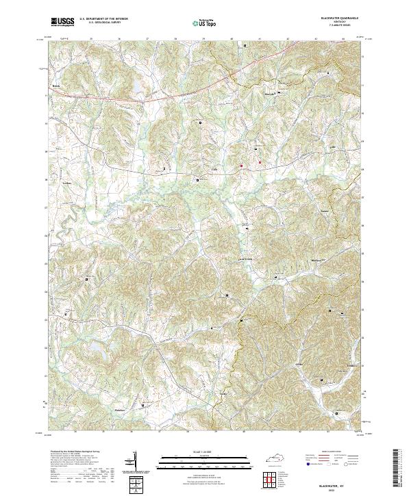
2022 Map of Blackwater
USGS Topo · Published 2022About this map
Laurel River winds through the heart of this terrain, marking the rural landscape of south-central Kentucky. The area is defined by numerous family-named settlements and crossroads, including Lida, Sasser, Blackwater, and Tuttle. These communities are connected by a web of routes like the E Daniel Boone Pkwy and Manchester Rd, which navigate the various ridges and creek valleys. For genealogists and local historians, the sheet is exceptionally detailed with family cemeteries, such as Phelps Cem, Williams Cem, and Hoskins Cem, providing a dense record of the region's heritage and lineage. The topography is further punctuated by distinct landmarks like Cut-Off Knob in the north and Cave Rock near Tedders, illustrating the diverse geology found at the intersection of Laurel and Knox counties.
Find a feature on this map
59 named features on this map. Tap any name to fly to it.
Don’t see what you’re looking for? This feature index may not catch every label — zoom into the map to look around manually.
Map Details
Editions of this 2022 Blackwater Map
This is the sole edition of this map. No revisions or reprints were ever made.
Other maps of this area

1886 · Cumberland Gap
USGS Topo · 1:125,000

1888 · Cumberland Gap
USGS Topo · 1:125,000

1890 · Williamsburg
USGS Topo · 1:125,000

1891 · Manchester
USGS Topo · 1:125,000

1891 · Cumberland Gap
USGS Topo · 1:125,000

1893 · London
USGS Topo · 1:125,000

1894 · Williamsburg
USGS Topo · 1:125,000

1897 · London
USGS Topo · 1:125,000

1952 · Portersburg
USGS Topo · 1:24,000

1952 · Corbin
USGS Topo · 1:24,000