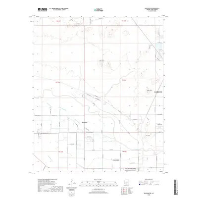
2018 Map of Blackwater
USGS Topo · Published 2018About this map
Blackwater stands as a central community within this desert landscape, situated near the braided channels of the Gila River and its accompanying Little Gila River. The local infrastructure is deeply tied to the management of water and agricultural land, evidenced by the Blackwater Lateral and the N Side Canal that cut through the Pinal County terrain. The survey captures a transition between the established settlements of Coolidge and Florence, while the southern edge of the map features the northern boundary of the Casa Grande Ruins National Monument. Notable landmarks like Mineral Butte, Twin Buttes, and Walker Butte provide topographic relief against the grid of roads such as Presbyterian Church Rd and Blackwater School Rd. This 2018 record shows how modern development and irrigation networks continue to follow the ancient path of the Gila.
Find a feature on this map
67 named features on this map. Tap any name to fly to it.
Don’t see what you’re looking for? This feature index may not catch every label — zoom into the map to look around manually.
Map Details
Editions of this 2018 Blackwater Map
This is the sole edition of this map. No revisions or reprints were ever made.
Other maps of this area

1900 · Florence
USGS Topo · 1:125,000

1902 · Florence
USGS Topo · 1:125,000

1907 · Sacaton
USGS Topo · 1:62,500

1922 · Red Rock No 2
USGS Topo · 1:48,000

1922 · Signal Peak
USGS Topo · 1:62,500

1924 · Signal Peak
USGS Topo · 1:62,500

1934 · Newman Peak
USGS Topo · 1:125,000

1954 · Mesa
USGS Topo · 1:250,000

1956 · Sacaton NE
USGS Topo · 1:24,000

1956 · Magma
USGS Topo · 1:24,000