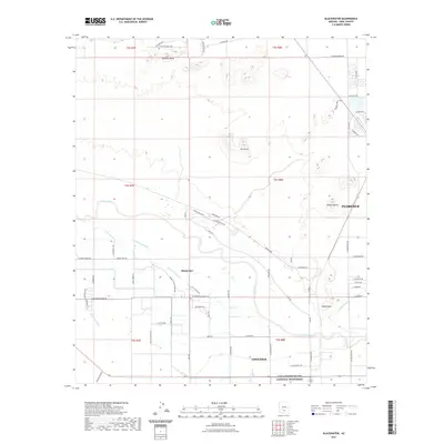
2021 Map of Blackwater
USGS Topo · Published 2021About this map
Casa Grande Ruins National Monument anchors the southern portion of this landscape, marking a site of deep archaeological significance along the northern edge of Coolidge. The terrain is defined by the braided channels of the Gila River and Little Gila River, which are paralleled by an intricate network of irrigation features including the Blackwater Lateral, N Side Canal, and the Canal Rd corridor. This desert environment is punctuated by prominent geological landmarks such as Mineral Butte, Twin Buttes, and Walker Butte, which rise sharply from the surrounding alluvial plain.
Find a feature on this map
70 named features on this map. Tap any name to fly to it.
Don’t see what you’re looking for? This feature index may not catch every label — zoom into the map to look around manually.
Map Details
Editions of this 2021 Blackwater Map
This is the sole edition of this map. No revisions or reprints were ever made.
Other maps of this area

1900 · Florence
USGS Topo · 1:125,000

1902 · Florence
USGS Topo · 1:125,000

1907 · Sacaton
USGS Topo · 1:62,500

1922 · Red Rock No 2
USGS Topo · 1:48,000

1922 · Signal Peak
USGS Topo · 1:62,500

1924 · Signal Peak
USGS Topo · 1:62,500

1934 · Newman Peak
USGS Topo · 1:125,000

1954 · Mesa
USGS Topo · 1:250,000

1956 · Sacaton NE
USGS Topo · 1:24,000

1956 · Magma
USGS Topo · 1:24,000