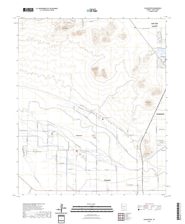
2023 Map of Blackwater
USGS Topo · Published 2023About this map
Blackwater sits at the heart of an intricate irrigation network in Pinal County, where the desert landscape is defined by the shifting channels of the Gila River and the Little Gila River. The community's history is deeply connected to the management of these waters, evidenced by the extensive system of canals like the Blackwater Lateral, Pima Lateral, and North Side Canal that cut across the arid terrain. Prominent desert landmarks such as Mineral Butte, Twin Buttes, and Cholla Mtn rise above the flat basin, serving as timeless navigational markers.
Find a feature on this map
71 named features on this map. Tap any name to fly to it.
Don’t see what you’re looking for? This feature index may not catch every label — zoom into the map to look around manually.
Map Details
Editions of this 2023 Blackwater Map
This is the sole edition of this map. No revisions or reprints were ever made.
Other maps of this area

1900 · Florence
USGS Topo · 1:125,000

1902 · Florence
USGS Topo · 1:125,000

1907 · Sacaton
USGS Topo · 1:62,500

1922 · Red Rock No 2
USGS Topo · 1:48,000

1922 · Signal Peak
USGS Topo · 1:62,500

1924 · Signal Peak
USGS Topo · 1:62,500

1934 · Newman Peak
USGS Topo · 1:125,000

1954 · Mesa
USGS Topo · 1:250,000

1956 · Sacaton NE
USGS Topo · 1:24,000

1956 · Magma
USGS Topo · 1:24,000