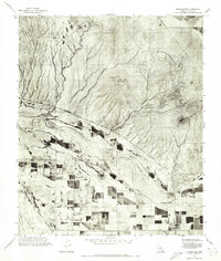
1971 Map of Blackwater
USGS Topo · Published 1972About this map
Blackwater anchors the southern portion of this 1971 orthophotomosaic, appearing as a focal point of settlement amid an increasingly organized agricultural landscape in Pinal County. The contrast between the rigid, rectangular geometry of the irrigated fields and the fluid, braided path of the Gila River illustrates the technological transformation of the desert during the early 1970s. To the north, the terrain transitions into a more natural drainage system where the desert floor rises toward the prominent Twin Buttes. This orthophotoquad provides a rare photographic record of land use and water management before further modernization altered the riparian corridor and surrounding tribal lands.
Find a feature on this map
3 named features on this map. Tap any name to fly to it.
Don’t see what you’re looking for? This feature index may not catch every label — zoom into the map to look around manually.
Map Details
Editions of this 1971 Blackwater Map
This is the sole edition of this map. No revisions or reprints were ever made.
Other maps of this area

1900 · Florence
USGS Topo · 1:125,000

1902 · Florence
USGS Topo · 1:125,000

1907 · Sacaton
USGS Topo · 1:62,500

1922 · Red Rock No 2
USGS Topo · 1:48,000

1922 · Signal Peak
USGS Topo · 1:62,500

1924 · Signal Peak
USGS Topo · 1:62,500

1934 · Newman Peak
USGS Topo · 1:125,000

1954 · Mesa
USGS Topo · 1:250,000

1956 · Sacaton NE
USGS Topo · 1:24,000

1956 · Magma
USGS Topo · 1:24,000