
1947 Map of Blackwater Sound
USGS Topo · Published 1967About this map
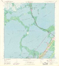
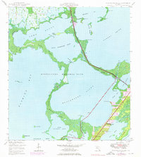
Everglades National Park dominates this coastal landscape, protecting a complex network of shallow sounds and mangrove-lined keys as they appeared in the late 1940s. The survey reveals the critical transition between Florida Bay and the Atlantic, linked by narrow passages like Jewfish Creek and Long Sound Pass. The topography highlights the emerging footprint of infrastructure on Largo Key, where early development begins to skirt the edges of Lake Surprise and Sexton Cove. This era shows the U.S. Route 1 corridor as it traverses Cross Key, providing the primary terrestrial connection through this subtropical wilderness. Notable natural features include the Cormorant Rookeries in Barnes Sound and the intricate shoreline of Shell Key, illustrating the fragile marine environment before mid-century expansion altered the character of the upper Florida Keys.
Find a feature on this map
33 named features on this map. Tap any name to fly to it.
Don’t see what you’re looking for? This feature index may not catch every label — zoom into the map to look around manually.
Map Details
Editions of this 1947 Blackwater Sound Map
3 editions found
Other maps of this area

1947 · Garden Cove
USGS Topo · 1:24,000

1947 · Rock Harbor
USGS Topo · 1:24,000

1949 · Blackwater Sound
USGS Topo · 1:24,000

1949 · Rock Harbor
USGS Topo · 1:24,000

1949 · Garden Cove
USGS Topo · 1:24,000

1949 · Card Sound
USGS Topo · 1:24,000

1950 · Glades
USGS Topo · 1:24,000

1956 · Card Sound
USGS Topo · 1:24,000

1956 · Glades
USGS Topo · 1:24,000

1956 · Royal Palm Ranger Station SE
USGS Topo · 1:24,000