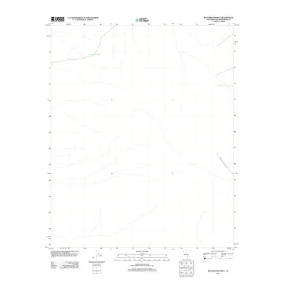
2012 Map of Blackwater Well
USGS Topo · Published 2012About this map
Blackwater Well sits as a solitary named water source in this arid stretch of the Mojave Desert within San Bernardino County. The landscape is characterized by its isolation, defined largely by topographic drainage patterns and a lack of permanent civilian settlement. A significant portion of the southeastern territory is occupied by the China Lake Naval Weapons Ctr, illustrating the intersection of remote desert geography and 21st-century military infrastructure. This 2012 survey provides a detailed look at the hydrology and land boundaries of a region where access is strictly managed and water remains the primary landmark for navigation and survival.
Find a feature on this map
2 named features on this map. Tap any name to fly to it.
Don’t see what you’re looking for? This feature index may not catch every label — zoom into the map to look around manually.
Map Details
Editions of this 2012 Blackwater Well Map
This is the sole edition of this map. No revisions or reprints were ever made.
Other maps of this area

1915 · Searles Lake
USGS Topo · 1:250,000

1947 · Trona
USGS Topo · 1:250,000

1948 · Trona
USGS Topo · 1:250,000

1953 · Trona
USGS Topo · 1:250,000

1954 · Pilot Knob
USGS Topo · 1:62,500

1954 · Cuddeback Lake
USGS Topo · 1:62,500

1955 · Opal Mountain
USGS Topo · 1:62,500

1956 · Fremont Peak
USGS Topo · 1:62,500

1957 · Trona
USGS Topo · 1:250,000

1960 · Trona
USGS Topo · 1:250,000