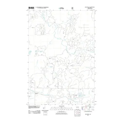
2011 Map of Blackwell
USGS Topo · Published 2011About this map
Blackwell stands as the primary settlement within this northern forest landscape, situated near the confluence of the Rat River and Stoney Creek. The terrain is defined by an intricate network of water, where the Peshtigo River meanders southward, joined by tributaries like Catwillow Creek and Coldwater Creek. This 2011 survey reveals a region heavily utilized for outdoor recreation and timber access, with numerous United States Forest Service roads such as Peshtigo River Rd and Peshtigo Preserve Rd crisscrossing the woodland.
Find a feature on this map
72 named features on this map. Tap any name to fly to it.
Don’t see what you’re looking for? This feature index may not catch every label — zoom into the map to look around manually.
Map Details
Editions of this 2011 Blackwell Map
This is the sole edition of this map. No revisions or reprints were ever made.
Other maps of this area

1939 · Goodman
USGS Topo · 1:48,000

1939 · Laona
USGS Topo · 1:48,000

1940 · Thunder Mtn.
USGS Topo · 1:48,000

1942 · Wabeno
USGS Topo · 1:48,000

1946 · Laona
USGS Topo · 1:48,000

1946 · Goodman
USGS Topo · 1:48,000

1950 · Wabeno
USGS Topo · 1:48,000

1951 · Wabeno
USGS Topo · 1:48,000

1951 · Thunder Mountain
USGS Topo · 1:48,000

1954 · Iron Mountain
USGS Topo · 1:250,000