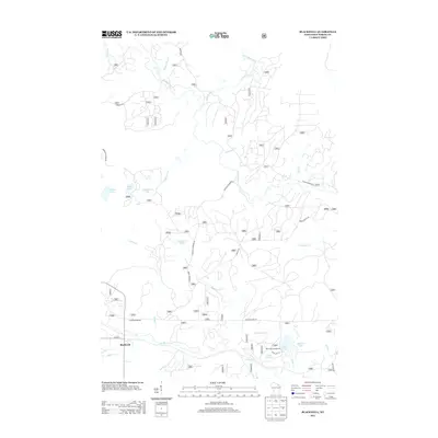
2013 Map of Blackwell
USGS Topo · Published 2013About this map
Blackwell serves as the primary point of settlement in this part of Forest County, situated near the southern edge of a landscape defined by an intricate network of waterways and timberland roads. The Peshtigo River meanders through the central terrain, joined by numerous tributaries including Coldwater Cr, Catwillow Creek, and Haymeadow Cr. This area is characterized by a high density of small glacial lakes and wetlands, such as Shabodock Lake, Purdy Lake, and the cluster containing Little Cub Lake and Big Cub Lake.
Find a feature on this map
76 named features on this map. Tap any name to fly to it.
Don’t see what you’re looking for? This feature index may not catch every label — zoom into the map to look around manually.
Map Details
Editions of this 2013 Blackwell Map
This is the sole edition of this map. No revisions or reprints were ever made.
Other maps of this area

1939 · Goodman
USGS Topo · 1:48,000

1939 · Laona
USGS Topo · 1:48,000

1940 · Thunder Mtn.
USGS Topo · 1:48,000

1942 · Wabeno
USGS Topo · 1:48,000

1946 · Laona
USGS Topo · 1:48,000

1946 · Goodman
USGS Topo · 1:48,000

1950 · Wabeno
USGS Topo · 1:48,000

1951 · Wabeno
USGS Topo · 1:48,000

1951 · Thunder Mountain
USGS Topo · 1:48,000

1954 · Iron Mountain
USGS Topo · 1:250,000