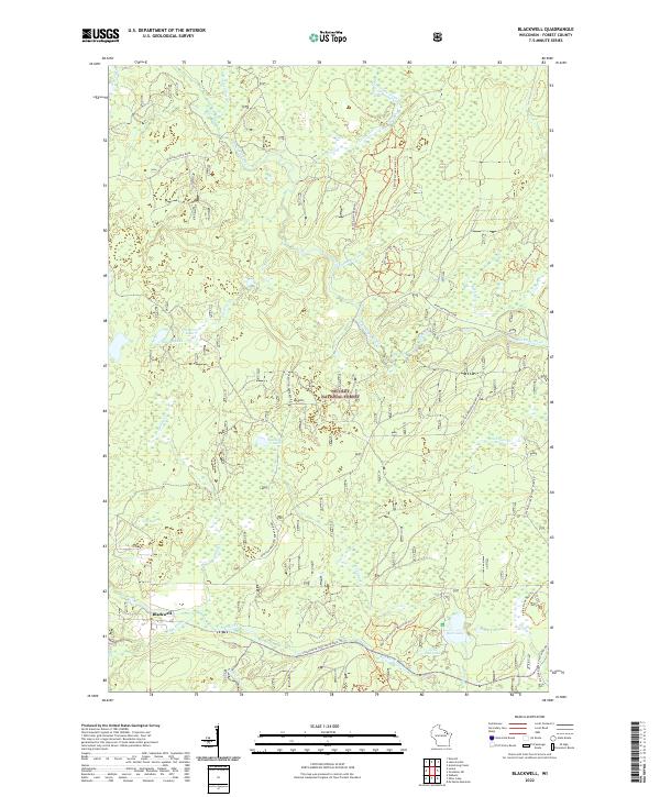
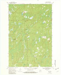
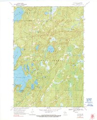
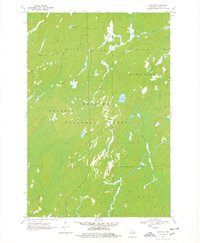
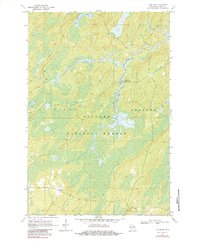
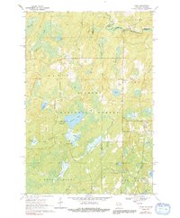
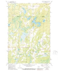
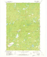
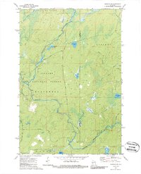
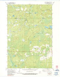
2022 Map of Blackwell
USGS Topo · Published 2022About this map
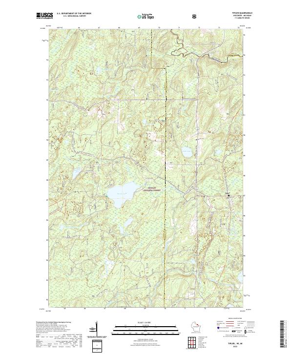
The settlement of Blackwell serves as the primary gateway to the extensive trail networks and waterways within the Nicolet National Forest. This section of Forest County is defined by its complex drainage systems, where the Peshtigo River and Rat River move through the landscape alongside numerous smaller tributaries like Spencer Cr and Whiting Cr. The area is a significant hub for modern recreation, featuring established paths such as the Snowmobile Trail Lkin Forest Trl and the Halley Creek Bird Trl. A notable concentration of glacial lakes sits in the southern and western portions of the quadrangle, including Bear Lake, Little Cub Lake, and Purdy Lake, while the CCC Pond reflects the legacy of earlier conservation work in the Wisconsin Northwoods.
Find a feature on this map
33 named features on this map. Tap any name to fly to it.
Don’t see what you’re looking for? This feature index may not catch every label — zoom into the map to look around manually.
Map Details
Editions of this 2022 Blackwell Map
This is the sole edition of this map. No revisions or reprints were ever made.
Historical Maps of Laona Through Time
30 maps found
1938 Alvin
Forest County, WI

1946 Alvin
Forest County, WI
1965 Crandon NE
Forest County, WI
1965 Lake Lucerne
Forest County, WI
1970 Alvin
Forest County, WI
1970 Alvin NW
Forest County, WI
1970 Alvin SE
Forest County, WI
1970 Alvin SW
Forest County, WI
1970 Tipler
Forest County, WI
1972 Armstrong Creek
Forest County, WI
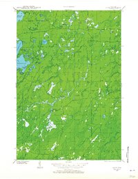
1972 Blackwell
Forest County, WI
1972 Goodman SW
Forest County, WI
1972 Lake Gordon
Forest County, WI
1972 Mc Caslin Mountain
Forest County, WI
1972 Otter Lake
Forest County, WI
1973 Roberts Lake
Forest County, WI
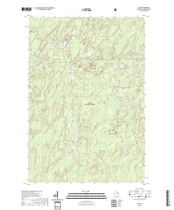
2022 Alvin
Forest County, WI
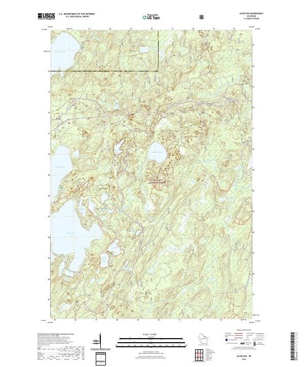
2022 Alvin NW
Forest County, WI
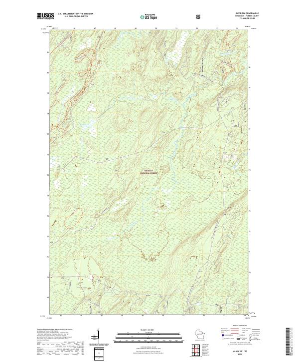
2022 Alvin SE
Forest County, WI
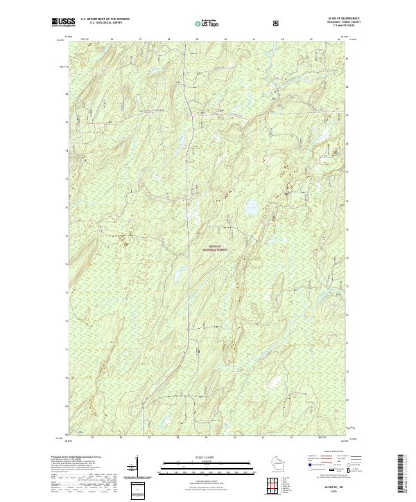
2022 Alvin SW
Forest County, WI
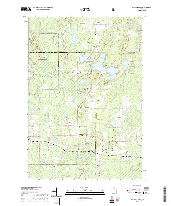
2022 Armstrong Creek
Forest County, WI
2022 Blackwell
Forest County, WI
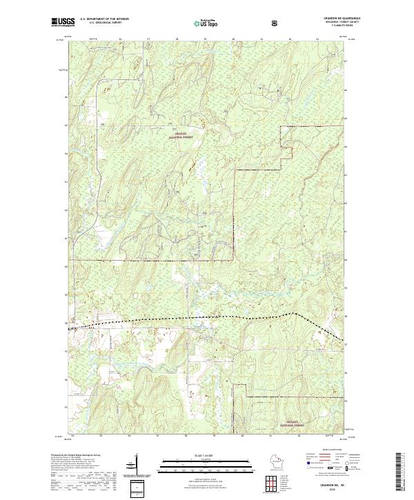
2022 Crandon NE
Forest County, WI
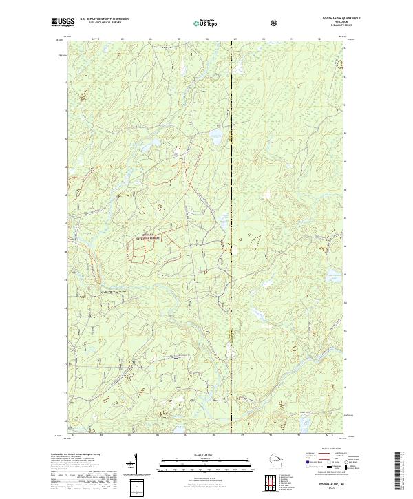
2022 Goodman SW
Forest County, WI
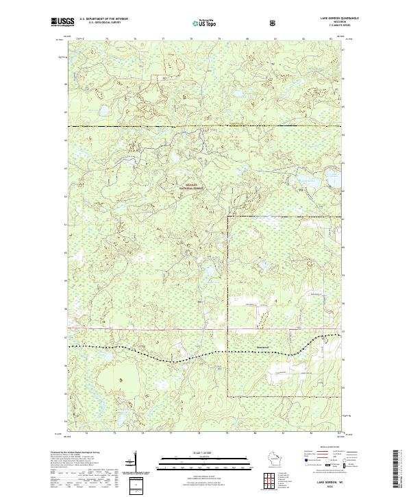
2022 Lake Gordon
Forest County, WI
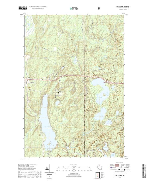
2022 Lake Lucerne
Forest County, WI
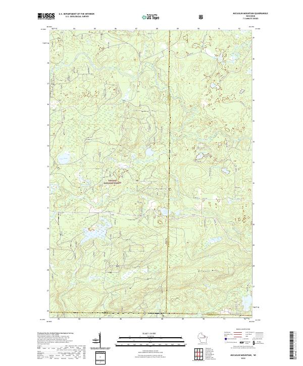
2022 McCaslin Mountain
Forest County, WI
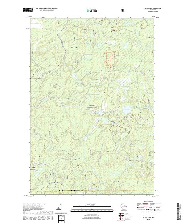
2022 Otter Lake
Forest County, WI
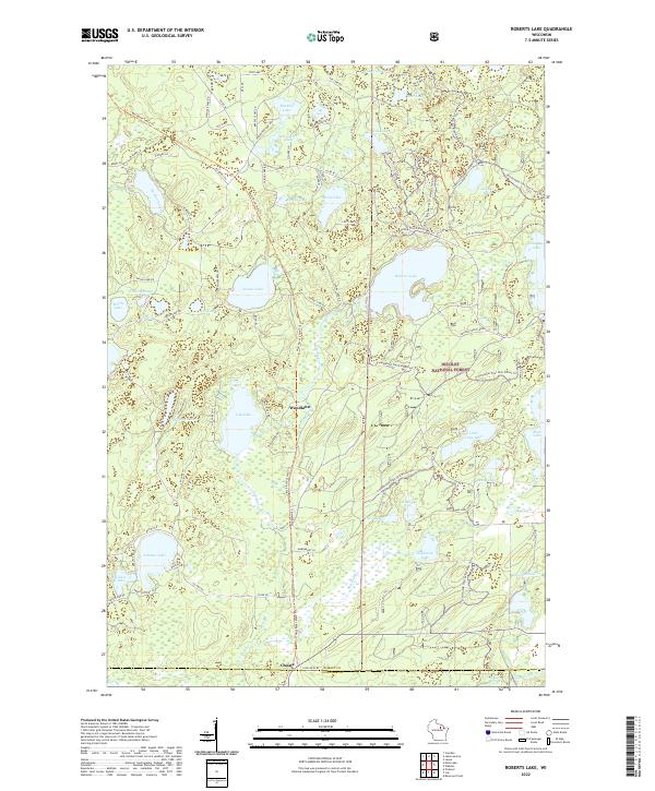
2022 Roberts Lake
Forest County, WI
2022 Tipler
Forest County, WI