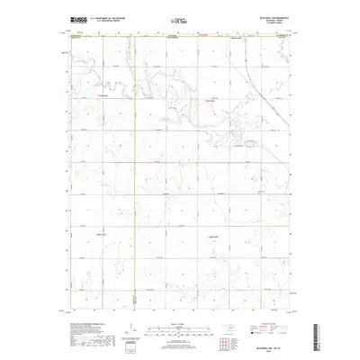
2018 Map of Blackwell NW
USGS Topo · Published 2018About this map
Hunnewell sits just north of the state line in this landscape defined by the winding course of Bluff Creek. The terrain is marked by the transition between Kansas and Oklahoma, specifically where Sumner Co meets Grant Co and Kay Co. This area is characterized by a dense grid of rural roads, including W Indian Rd and W Bender Rd, which provide access to the agricultural interior and local landmarks like Triumph Cem. Several waterways, including Sand Cr, Doe Cr, and the appropriately named Shoo Fly Cr, drain the territory, highlighting the importance of drainage and creek systems in this borderlands region. The map captures the quiet persistence of these small-town and rural infrastructures in the late 2010s.
Find a feature on this map
45 named features on this map. Tap any name to fly to it.
Don’t see what you’re looking for? This feature index may not catch every label — zoom into the map to look around manually.
Map Details
Editions of this 2018 Blackwell NW Map
This is the sole edition of this map. No revisions or reprints were ever made.
Other maps of this area

1889 · Caldwell
USGS Topo · 1:125,000

1890 · Wellington
USGS Topo · 1:125,000

1893 · Caldwell
USGS Topo · 1:125,000

1897 · Caldwell
USGS Topo · 1:125,000

1955 · Wichita
USGS Topo · 1:250,000

1955 · Enid
USGS Topo · 1:250,000

1958 · Enid
USGS Topo · 1:250,000

1958 · Wichita
USGS Topo · 1:250,000

1965 · Portland
USGS Topo · 1:24,000

1965 · South Haven
USGS Topo · 1:24,000