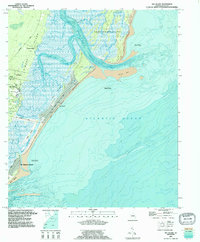
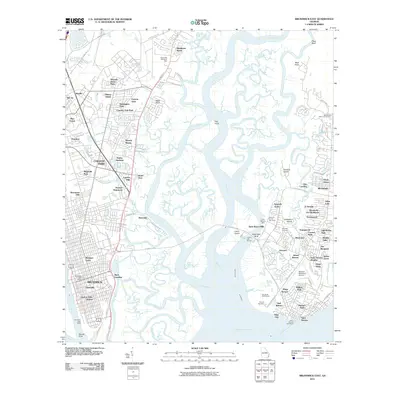
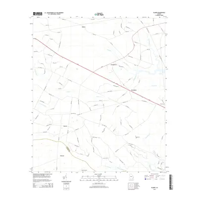
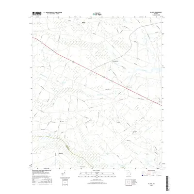
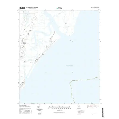
1918 Map of Bladen
USGS Topo · Published 1918About this map
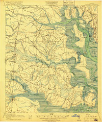
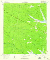
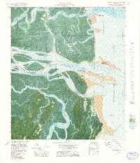
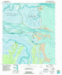
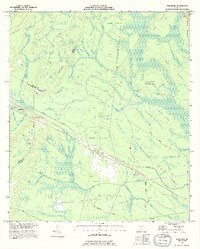
Turtle River and the South Brunswick River dominate this coastal Georgia landscape, where the tides weave through a complex network of marshes and islands. Just before the end of the First World War, this region was defined by its intersecting transit corridors, including the Atlantic Coast Line and Seaboard Air Line railroads. Small settlements like Bladen and Waverly serve as focal points in an area characterized by expansive wetlands such as Turkey Swamp and Whiteoak Swamp. Local education and community life are marked by rural schoolhouses, including Magnolia School and Buck Swamp School. The presence of Log Landing on Maiden Creek and named landings like Fancy Bluff suggest a river-based economy still vital for moving timber and goods between the inland swamps and the deepwater ports near Brunswick.
Find a feature on this map
76 named features on this map. Tap any name to fly to it.
Don’t see what you’re looking for? This feature index may not catch every label — zoom into the map to look around manually.
Map Details
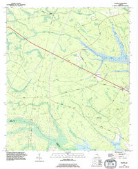
Editions of this 1918 Bladen Map
2 editions found
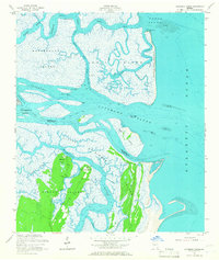
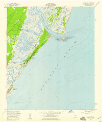
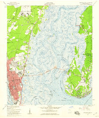
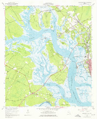
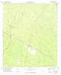
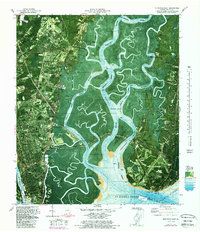
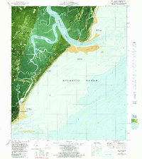
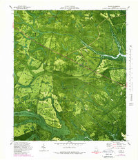
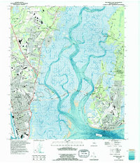
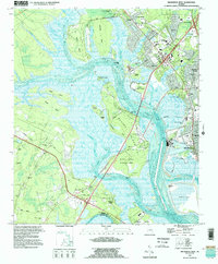
Historical Maps of Brunswick Through Time
52 maps found

1918 Bladen
Glynn County, GA

1918 Everett City
Glynn County, GA

1920 Everett City
Glynn County, GA
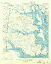
1939 Bladen
Glynn County, GA

1944 Everett City
Glynn County, GA
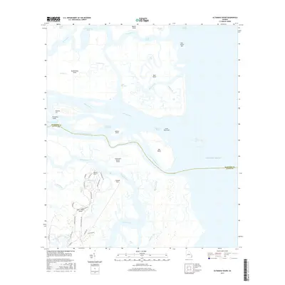
1954 Altamaha Sound
Glynn County, GA
1955 Sea Island
Glynn County, GA
1956 Bladen
Glynn County, GA
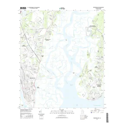
1956 Brunswick East
Glynn County, GA
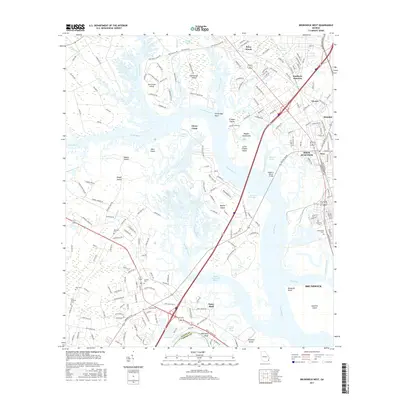
1956 Brunswick West
Glynn County, GA
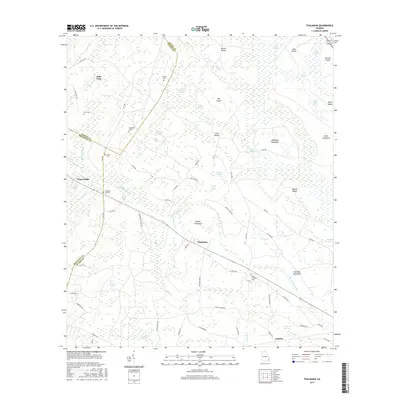
1978 Thalmann
Glynn County, GA
1979 Altamaha Sound
Glynn County, GA
1979 Brunswick East
Glynn County, GA

1979 Brunswick West
Glynn County, GA
1979 Sea Island
Glynn County, GA
1980 Bladen
Glynn County, GA
1993 Altamaha Sound
Glynn County, GA
1993 Bladen
Glynn County, GA
1993 Brunswick East
Glynn County, GA
1993 Brunswick West
Glynn County, GA
1993 Sea Island
Glynn County, GA
1993 Thalmann
Glynn County, GA
2011 Altamaha Sound
Glynn County, GA
2011 Bladen
Glynn County, GA
2011 Brunswick East
Glynn County, GA
2011 Brunswick West
Glynn County, GA
2011 Sea Island
Glynn County, GA
2011 Thalmann
Glynn County, GA

2014 Altamaha Sound
Glynn County, GA
2014 Bladen
Glynn County, GA
2014 Brunswick East
Glynn County, GA
2014 Brunswick West
Glynn County, GA

2014 Sea Island
Glynn County, GA
2014 Thalmann
Glynn County, GA
2017 Altamaha Sound
Glynn County, GA
2017 Bladen
Glynn County, GA
2017 Brunswick East
Glynn County, GA
2017 Brunswick West
Glynn County, GA
2017 Sea Island
Glynn County, GA
2017 Thalmann
Glynn County, GA

2020 Altamaha Sound
Glynn County, GA
2020 Bladen
Glynn County, GA
2020 Brunswick East
Glynn County, GA
2020 Brunswick West
Glynn County, GA

2020 Sea Island
Glynn County, GA
2020 Thalmann
Glynn County, GA
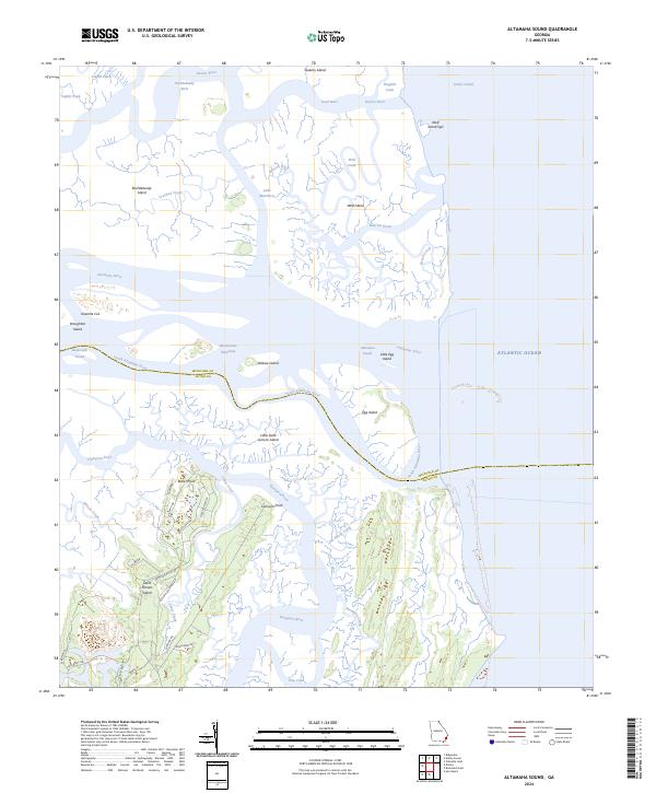
2024 Altamaha Sound
Glynn County, GA

2024 Bladen
Glynn County, GA
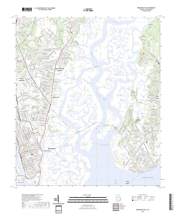
2024 Brunswick East
Glynn County, GA
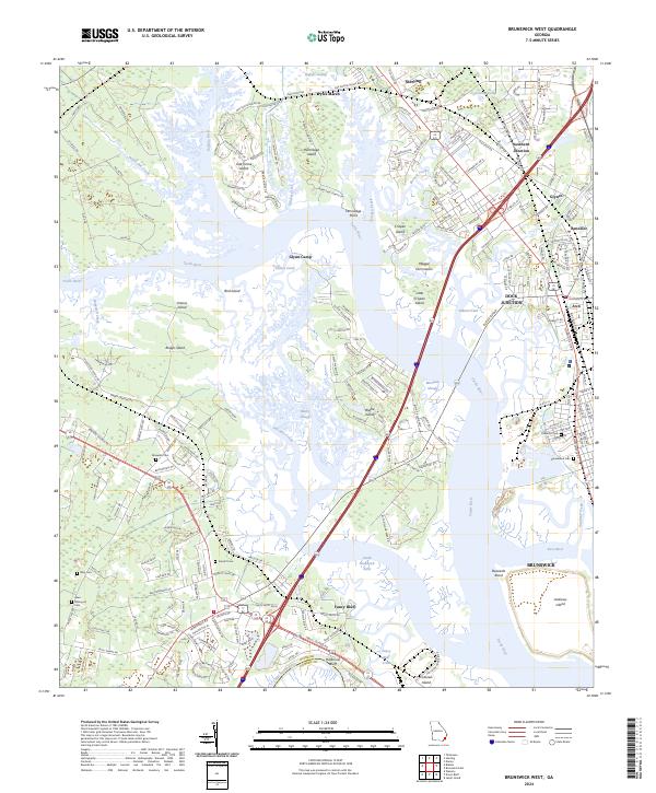
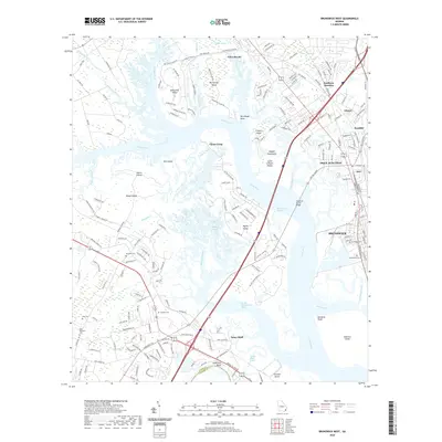
2024 Brunswick West
Glynn County, GA
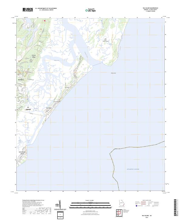
2024 Sea Island
Glynn County, GA
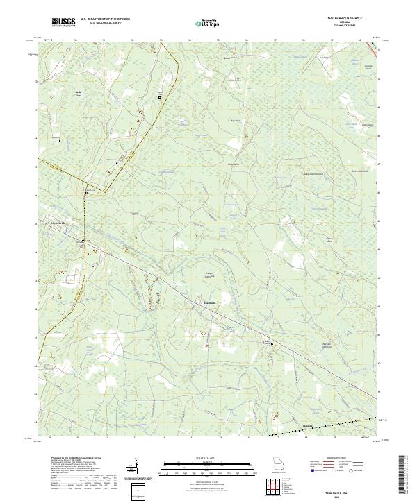
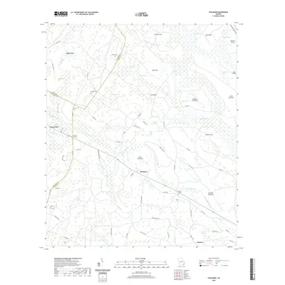
2024 Thalmann
Glynn County, GA