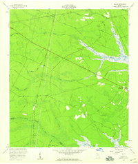
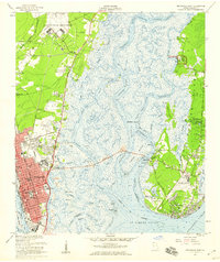
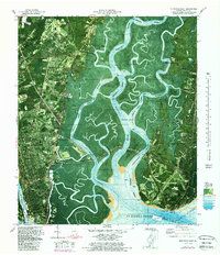
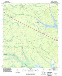
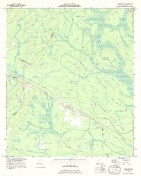
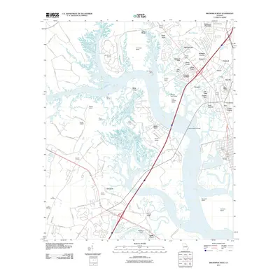
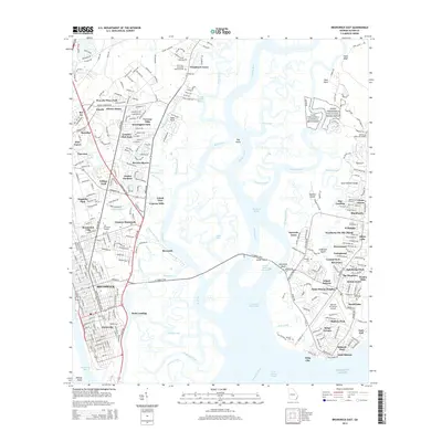
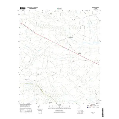
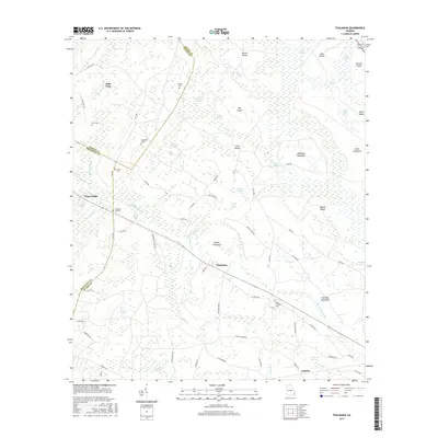
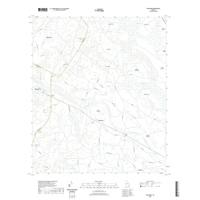
1956 Map of Bladen
USGS Topo · Published 1959About this map
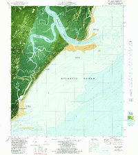
The expansive wetlands of Turkey Swamp and White Oak Swamp dominate this mid-century portrait of coastal Georgia. The landscape is defined by the convergence of the Turtle River and the Little Satilla River, where the Glynn Co Camden Co boundary follows the water's edge. This era shows a community structured around the intersection of the Atlantic Coast Line and the Seaboard Air Line railroads, which facilitated movement through the dense swamps and across the Massie Causeway.
Find a feature on this map
39 named features on this map. Tap any name to fly to it.
Don’t see what you’re looking for? This feature index may not catch every label — zoom into the map to look around manually.
Map Details
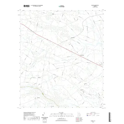
Editions of this 1956 Bladen Map
This is the sole edition of this map. No revisions or reprints were ever made.
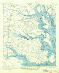
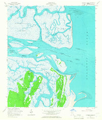
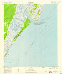
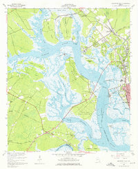
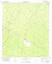
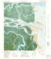
Historical Maps of Georgetown Through Time
52 maps found

1918 Bladen
Glynn County, GA

1918 Everett City
Glynn County, GA

1920 Everett City
Glynn County, GA
1939 Bladen
Glynn County, GA

1944 Everett City
Glynn County, GA
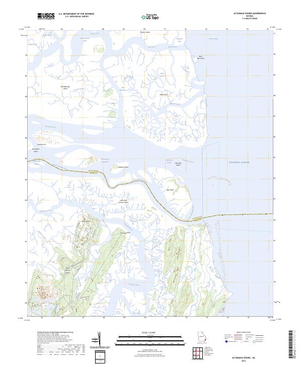
1954 Altamaha Sound
Glynn County, GA
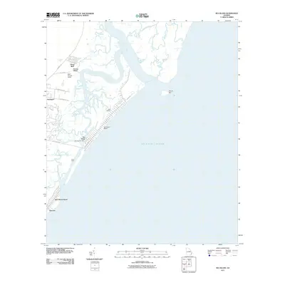
1955 Sea Island
Glynn County, GA
1956 Bladen
Glynn County, GA
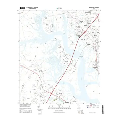
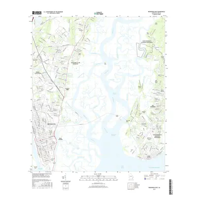
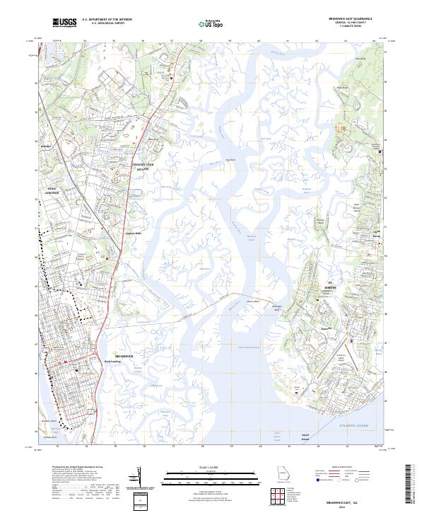
1956 Brunswick East
Glynn County, GA
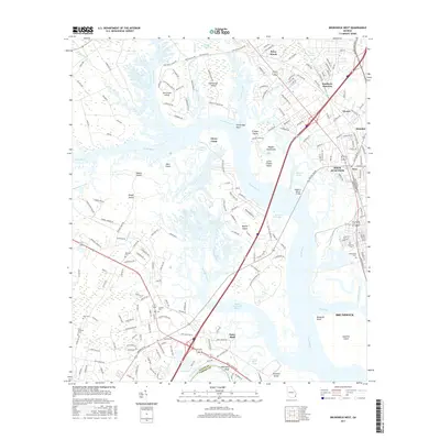
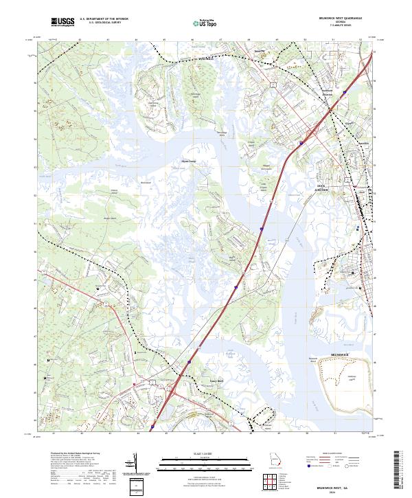
1956 Brunswick West
Glynn County, GA
1978 Thalmann
Glynn County, GA
1979 Altamaha Sound
Glynn County, GA
1979 Brunswick East
Glynn County, GA

1979 Brunswick West
Glynn County, GA
1979 Sea Island
Glynn County, GA
1980 Bladen
Glynn County, GA
1993 Altamaha Sound
Glynn County, GA
1993 Bladen
Glynn County, GA
1993 Brunswick East
Glynn County, GA
1993 Brunswick West
Glynn County, GA
1993 Sea Island
Glynn County, GA
1993 Thalmann
Glynn County, GA
2011 Altamaha Sound
Glynn County, GA
2011 Bladen
Glynn County, GA
2011 Brunswick East
Glynn County, GA
2011 Brunswick West
Glynn County, GA
2011 Sea Island
Glynn County, GA
2011 Thalmann
Glynn County, GA

2014 Altamaha Sound
Glynn County, GA
2014 Bladen
Glynn County, GA
2014 Brunswick East
Glynn County, GA
2014 Brunswick West
Glynn County, GA

2014 Sea Island
Glynn County, GA
2014 Thalmann
Glynn County, GA
2017 Altamaha Sound
Glynn County, GA
2017 Bladen
Glynn County, GA
2017 Brunswick East
Glynn County, GA
2017 Brunswick West
Glynn County, GA
2017 Sea Island
Glynn County, GA
2017 Thalmann
Glynn County, GA

2020 Altamaha Sound
Glynn County, GA
2020 Bladen
Glynn County, GA
2020 Brunswick East
Glynn County, GA
2020 Brunswick West
Glynn County, GA

2020 Sea Island
Glynn County, GA
2020 Thalmann
Glynn County, GA
2024 Altamaha Sound
Glynn County, GA

2024 Bladen
Glynn County, GA
2024 Brunswick East
Glynn County, GA
2024 Brunswick West
Glynn County, GA
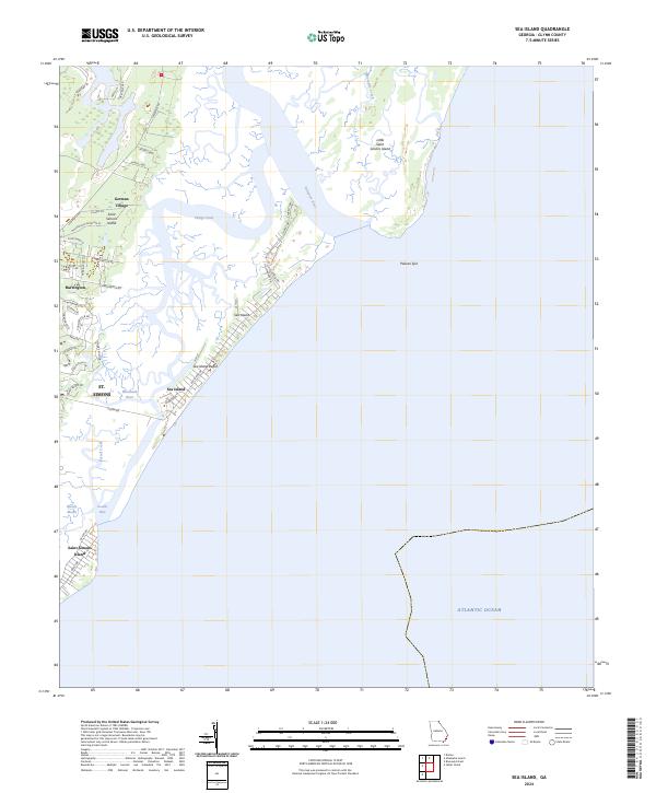
2024 Sea Island
Glynn County, GA
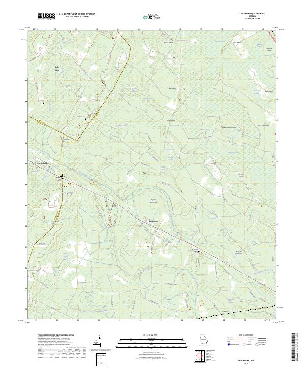
2024 Thalmann
Glynn County, GA