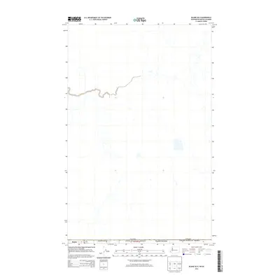
2014 Map of Blaine OE N
USGS Topo · Published 2014About this map
The international border between the United States and Canada defines the central geography of this 2014 survey. Located at the northwestern edge of Washington state, the map focuses on the area surrounding Blaine and Whatcom County where the Pacific Northwest meets the Canadian province of British Columbia. This edition reflects the modern hydrographic and road network as of the early 2010s, showing a landscape defined by drainage patterns and agricultural or residential boundaries south of the border. While topographically sparse compared to mountainous regions, the sheet is a critical reference for the precise alignment of the International Boundary and its intersection with local townships such as Township 41 North, Range 1 East.
Find a feature on this map
5 named features on this map. Tap any name to fly to it.
Don’t see what you’re looking for? This feature index may not catch every label — zoom into the map to look around manually.
Map Details
Editions of this 2014 Blaine OE N Map
This is the sole edition of this map. No revisions or reprints were ever made.
Other maps of this area

1907 · Blaine
USGS Topo · 1:62,500

1952 · Bertrand Creek
USGS Topo · 1:24,000

1952 · Birch Point
USGS Topo · 1:24,000

1952 · Blaine
USGS Topo · 1:24,000

1952 · Blaine
USGS Topo · 1:62,500

1957 · Victoria
USGS Topo · 1:250,000

1975 · Bellingham
USGS Topo · 1:100,000
2011 · Birch Point
USGS Topo · 1:24,000
2011 · Blaine
USGS Topo · 1:24,000
2011 · Bertrand Creek
USGS Topo · 1:24,000