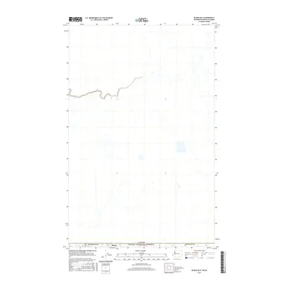
2017 Map of Blaine OE N
USGS Topo · Published 2017About this map
The international boundary between Canada and the United States of America defines this northernmost landscape within Whatcom Co, Washington. Centered near the community of Blaine, the map illustrates a region where low-lying drainage patterns and wetlands intersect the 49th parallel. The topography is characterized by subtle elevation changes and numerous small watercourses that flow across the border, reflecting a shared physical geography despite the political demarcation. This late-stage survey utilizes modern high-resolution imagery and hydrography datasets to document a landscape where suburban growth and rural agricultural land meet the edge of British Columbia, highlighting the spatial relationship between the two nations in the Pacific Northwest.
Find a feature on this map
4 named features on this map. Tap any name to fly to it.
Don’t see what you’re looking for? This feature index may not catch every label — zoom into the map to look around manually.
Map Details
Editions of this 2017 Blaine OE N Map
This is the sole edition of this map. No revisions or reprints were ever made.
Other maps of this area

1907 · Blaine
USGS Topo · 1:62,500

1952 · Bertrand Creek
USGS Topo · 1:24,000

1952 · Birch Point
USGS Topo · 1:24,000

1952 · Blaine
USGS Topo · 1:24,000

1952 · Blaine
USGS Topo · 1:62,500

1957 · Victoria
USGS Topo · 1:250,000

1975 · Bellingham
USGS Topo · 1:100,000
2011 · Birch Point
USGS Topo · 1:24,000
2011 · Blaine
USGS Topo · 1:24,000
2011 · Bertrand Creek
USGS Topo · 1:24,000