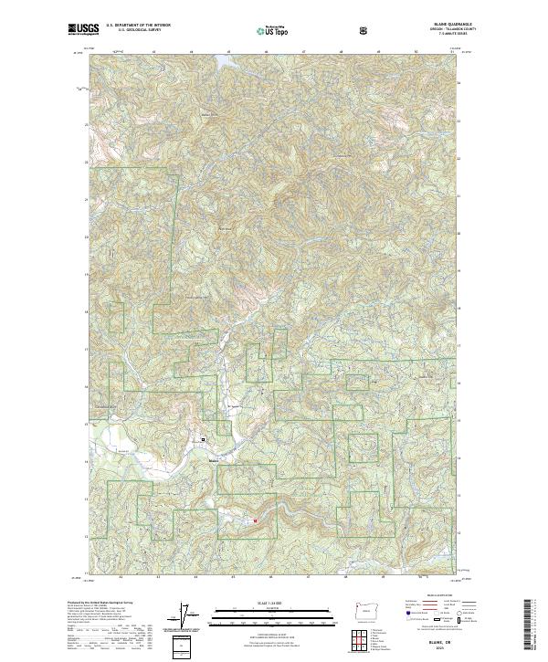
2023 Map of Blaine
USGS Topo · Published 2023About this map
The Blaine settlement serves as the central hub of this topographical study within the Siuslaw National Forest. Positioned near the confluence of Moon Creek and the Nestucca River, the community is historically tethered to the timber-rich landscape of Tillamook County. The map provides precise locations for the Blaine Cem, a critical site for local genealogical research, and documents the winding forest routes such as Moon Creek Rd and Blaine Rd that connect these remote valleys.
Find a feature on this map
39 named features on this map. Tap any name to fly to it.
Don’t see what you’re looking for? This feature index may not catch every label — zoom into the map to look around manually.
Map Details
Editions of this 2023 Blaine Map
This is the sole edition of this map. No revisions or reprints were ever made.
Other maps of this area

1941 · Nestucca Bay
USGS Topo · 1:62,500

1942 · Ginger Peak
USGS Topo · 1:62,500

1942 · Spirit Mtn
USGS Topo · 1:62,500

1942 · Nestucca Bay
USGS Topo · 1:62,500

1942 · Tillamook
USGS Topo · 1:62,500

1948 · Vancouver
USGS Topo · 1:250,000

1950 · Vancouver
USGS Topo · 1:250,000

1950 · Vancouver
USGS Topo · 1:250,000

1955 · Hebo
USGS Topo · 1:62,500

1955 · Blaine
USGS Topo · 1:62,500