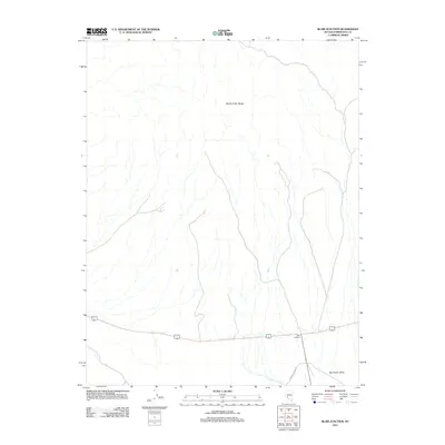
2012 Map of Blair Junction
USGS Topo · Published 2012About this map
The Monte Cristo Range dominates the northern reaches of this high-desert landscape in Esmeralda County, where the mountains descend into the wide expanse of the Big Smoky Valley. At the heart of the region's transportation network lies Blair Junction, a critical crossroads for travelers and miners navigating the arid terrain between central Nevada's mining districts. The area is defined by its topographic extremes, from the rugged slopes of the range to the alluvial fans that spread across the valley floor. Researchers will find the alignment of Emigrant Pass Rd as it cuts through the southern portion of the map, tracing a path that has historically connected isolated outposts across this sparsely populated section of the Great Basin.
Find a feature on this map
4 named features on this map. Tap any name to fly to it.
Don’t see what you’re looking for? This feature index may not catch every label — zoom into the map to look around manually.
Map Details
Editions of this 2012 Blair Junction Map
This is the sole edition of this map. No revisions or reprints were ever made.
Other maps of this area

1898 · Silver Peak
USGS Topo · 1:125,000

1900 · Silver Peak
USGS Topo · 1:125,000

1907 · Tonopah
USGS Topo · 1:250,000

1908 · Lida
USGS Topo · 1:250,000

1908 · Tonopah
USGS Topo · 1:250,000

1913 · Lida
USGS Topo · 1:250,000

1954 · Goldfield
USGS Topo · 1:250,000

1955 · Goldfield
USGS Topo · 1:250,000

1956 · Tonopah
USGS Topo · 1:250,000

1958 · Goldfield
USGS Topo · 1:250,000