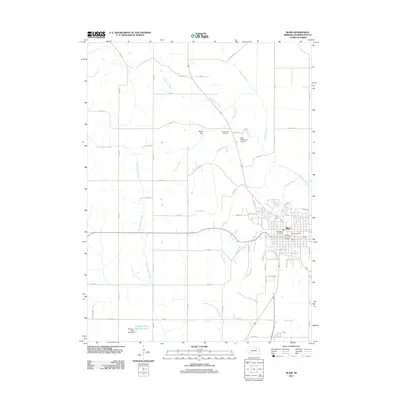
2011 Map of Blair
USGS Topo · Published 2011About this map
The city of Blair serves as the focal point of this Eastern Nebraska landscape, showing a detailed street grid and residential expansion at the start of the 2010s. The map highlights the intersection of agricultural utility and suburban development, with the Cameron Ditch and several drainage creeks like Big Papillion Creek and Lippincott Creek carving through the surrounding farmland.
Find a feature on this map
52 named features on this map. Tap any name to fly to it.
Don’t see what you’re looking for? This feature index may not catch every label — zoom into the map to look around manually.
Map Details
Editions of this 2011 Blair Map
This is the sole edition of this map. No revisions or reprints were ever made.
Other maps of this area

1893 · Fremont
USGS Topo · 1:125,000

1896 · Fremont
USGS Topo · 1:125,000

1955 · Fremont
USGS Topo · 1:250,000

1957 · Fremont
USGS Topo · 1:250,000

1958 · Fremont
USGS Topo · 1:250,000

1968 · Kennard
USGS Topo · 1:24,000
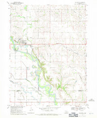
1968 · Arlington
USGS Topo · 1:24,000
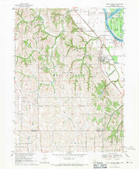
1968 · Fort Calhoun
USGS Topo · 1:24,000
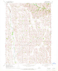
1969 · Orum
USGS Topo · 1:24,000

1970 · Herman
USGS Topo · 1:24,000